
What is recorded here
On a N-S terrace along the E side of the Nore and Dinin river valleys, with land dropping to the W down to the flood plain, in flat terrain under grass and tillage. There are good views in all directions, though they are very good to the W. A roughly circular enclosure (diam. c. 35m) defined by wind-flashing of crop showing on aerial photograph (CUCAP BGG040, 16 July 1971). It is not visible at ground level. There is a ring-ditch (KK014-143----) c. 20m to the SW.
See attached aerial photograph (CUCAP BGG040, 16 July 1971)
Compiled by: Jean Farrelly
Date of upload: 8 June 2020
The monument record does not grant public access. Check the route and ask the landowner before entering private land.
- What survives
- Recorded monument
Places near here
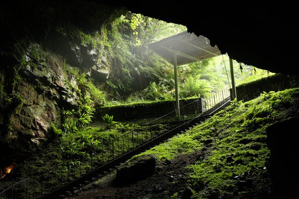 Enclosure in Dunmore (fassidinin By.)Enclosure · 301 yd
 Dunmore Cottagegates/railings/walls · 429 yd
 Not inidcatedEnclosure · 924 yd
 Rock WoodWood · 1074 yd
 Long WoodWood · 1211 yd
 Catholic Church of the Most Holy Trinitychurch/chapel · 1728 yd
 Castle (in ruins)Castle, unclassified · 1.1 mi
 CastleCastle, unclassified · 1.3 mi
 Trinity WellSpring · 1.7 mi
 Graveyard in ThreecastlesGraveyard · 2.3 mi
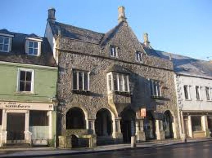 Rothe familyMemorial · 3.4 mi
 Heritage Project Interpretation of the City Walls in Butler HouseVisitor information · 3.7 mi
Other information
Photo: Credit not shown in the picture search · Rights wording not checked; contact us if this picture should be removed