What is recorded here
Enclosure in Dunmore West is an invisible oval boundary, forty-four metres long, buried beneath rolling grassland on a gravel ridge above the Nore. It resisted human eyes for centuries until shadow and light revealed its shape from above. The land kept a secret chamber of marks, waiting for altitude and angle to speak.
On top of a NW-SE gravel ridge along the E side of the Nore river valley, in rolling grassland. There are fair to good views in all directions. An oval enclosure (dims. c. 44m NW-SE; c. 30m NE-SW) delimited by fosse, identified as a cropmark on an aerial photographs (CUCAP BOD029 and BOD032, 10 July 1973). It is not visible at ground level. There are two other enclosures (KK014-053001- and KK014-053002-) c. 50m to the NW.
See attached aerial photographs (CUCAP BOD029 and BOD032, 10 July 1973)
Compiled by: Jean Farrelly
Date of upload: 4 June 2020
The monument record does not grant public access. Check the route and ask the landowner before entering private land.
- What survives
- Recorded monument
Places near here
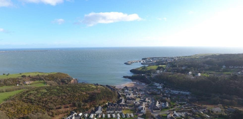 Enclosure in Dunmore WestEnclosure · 153 yd
 Not inidcatedEnclosure · 294 yd
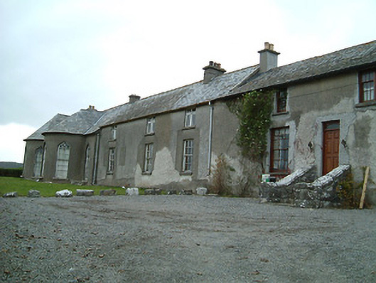 Dunmore Cottagehouse · 907 yd
 Castle (in ruins)Castle, unclassified · 1297 yd
 Rock WoodWood · 1750 yd
 The RockCastle, ringwork · 1.0 mi
 bridgebridge · 1.1 mi
 Long WoodWood · 1.2 mi
 Trinity WellSpring · 1.9 mi
 Lady DesartMemorial · 2.0 mi
 Graveyard in ThreecastlesGraveyard · 2.0 mi
 WelcomeVisitor information · 3.9 mi