
What is recorded here
Dunkineely Hilltop Enclosure is an oval scarped ridge forty-five metres long, marked as a fort on the first Ordnance Survey map and still commanding the good Donegal land beneath it. Modern roads have bitten into its south and west edges, yet the raised stone chamber remains visible above the surrounding fields. Perhaps people stood there watching weather or neighbours long before surveyors drew lines across the hilltop.
Marked as a 'Fort' on the 1st edition of the OS 6-inch map. The site consists of an oval hill-top area 45m NE-SW × 32.5m NW-SE defined by a scarped edge. Modern roadways encroach on the site on the S and W sides. It is raised, from c. 0.8m on the NE to 3.2m on the SW, above the surrounding land. The site is located on good land in a commanding position.
The above description was derived from the 'Archaeological Survey of County Donegal. A description of the field antiquities of the County from the Mesolithic Period to the 17th century.' Compiled by: Brian Lacey with Eamon Cody, Claire Cotter, Judy Cuppage, Noel Dunne, Vincent Hurley, Celie O'Rahilly, Paul Walsh and Seán Ó Nualláin (Lifford: Donegal County Council, 1983). In certain instances the entries have been revised and updated.
Date of upload: 22 September 2008
The monument record does not grant public access. Check the route and ask the landowner before entering private land.
- What survives
- Recorded monument
Places near here
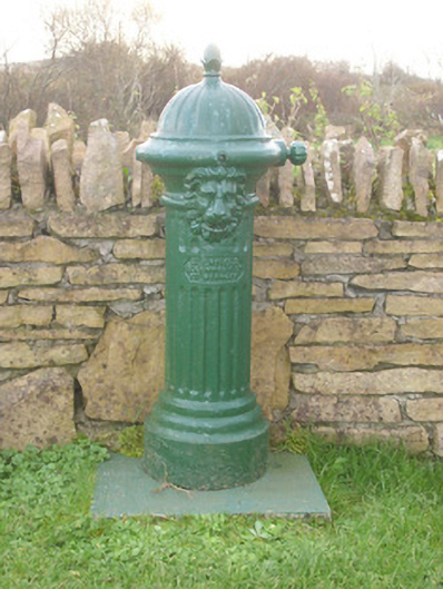 water pumpwater pump · 49 yd
 Former Dunkineely EnclosureEnclosure · 122 yd
 GinkgoGinkgo · 245 yd
 Church in DunkineelyChurch · 317 yd
 Darney Raised Fairy FortFairy fort / earthen ringfort · 965 yd
 Killaghtee Old Church GraveyardGraveyard · 1197 yd
 Wych ElmWych Elm · 1658 yd
 Bawn in Rahan NearBawn · 1.0 mi
 Rashenny PointHeadland · 2.9 mi
 Bawn in KillybegsBawn · 3.1 mi
 Carntullagh HeadHeadland · 3.1 mi
 Rotten IslandIslet · 3.2 mi
Other information
Photo: Credit not shown in the picture search · Rights wording not checked; contact us if this picture should be removed