What is recorded here
Marked as a circular embanked enclosure (ext. diam. c. 50m) on the 1839 ed. of the OS 6-inch map, and located in the valley of a small W-E stream at a point where it turns S and c. 1.5 km from the sea-shore. This is an area of overgrown marshland with no evidence of an antiquity.
Compiled by: Michael Moore
Date of upload: 18 June, 2012
The monument record does not grant public access. Check the route and ask the landowner before entering private land.
- What survives
- Recorded monument
Places near here
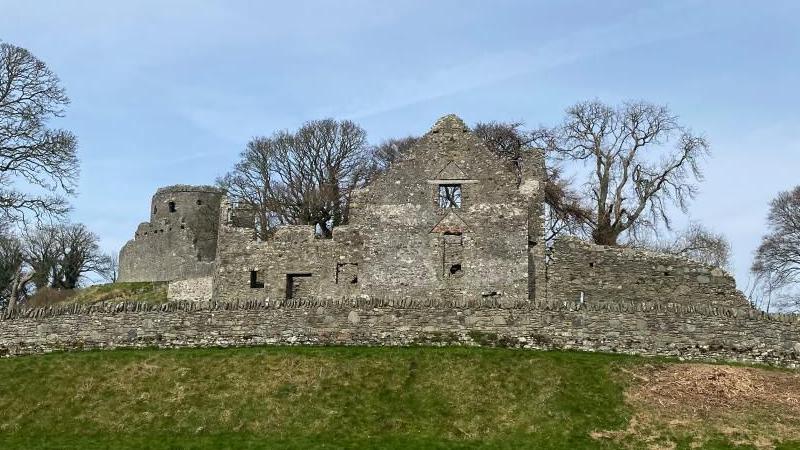 Embanked enclosureFairy fort / ringfort · 369 yd
 Site of Morris CastleCastle, unclassified · 556 yd
 Holy WellHoly well · 1247 yd
 Castle Annesley (in ruins)House, 17th century · 1285 yd
 Castle Anneslwy (in ruins)Bawn · 1312 yd
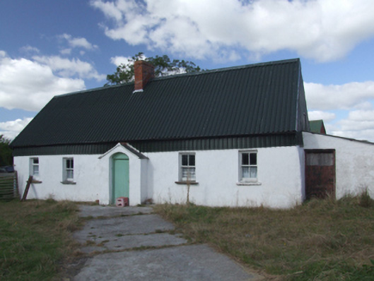 farm housefarm house · 1690 yd
 Morriscastle BeachBeach / strand · 1.0 mi
 The Cahore Polders and DunesNature reserve · 1.8 mi
 Shrule Deer FarmHeritage attraction · 2.3 mi
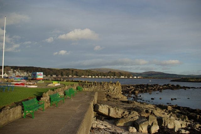 Newtown BeachBeach / strand · 3.0 mi
 Bird BoxesVisitor information · 3.5 mi
 Wexford - TexasMemorial · 3.6 mi