What is recorded here
One narrow ditch in Dunboyne still holds charcoal flecks and broken pots from the thirteenth century. It may have marked a household boundary, while people cooked, burned wood and lived beside the road. The clay remembered heat, traffic and ordinary care long after the names disappeared.
Located within the likely extent of the medieval settlement of Dunboyne. Archaeological testing (14E0126) by R. Meenan on the SW side of the NW-SE Summerhill Road (excavations.ie 2014: 4678) uncovered and sampled part of an ENE-WSW ditch (Wth of top 1.1m; D 0.8m) that was filled with a soft grey silty clay that had occasional flecks of charcoal and lumps of brown boulder clay. It produced eight sherds of Dublin-type ware and one of Leinster cooking ware, and a date in the thirteenth century is likely for what may have been a property boundary. (Meenan 2014)
Compiled by: Michael Moore
Date of upload: 29 October 2021
The monument record does not grant public access. Check the route and ask the landowner before entering private land.
- What survives
- Recorded monument
Places near here
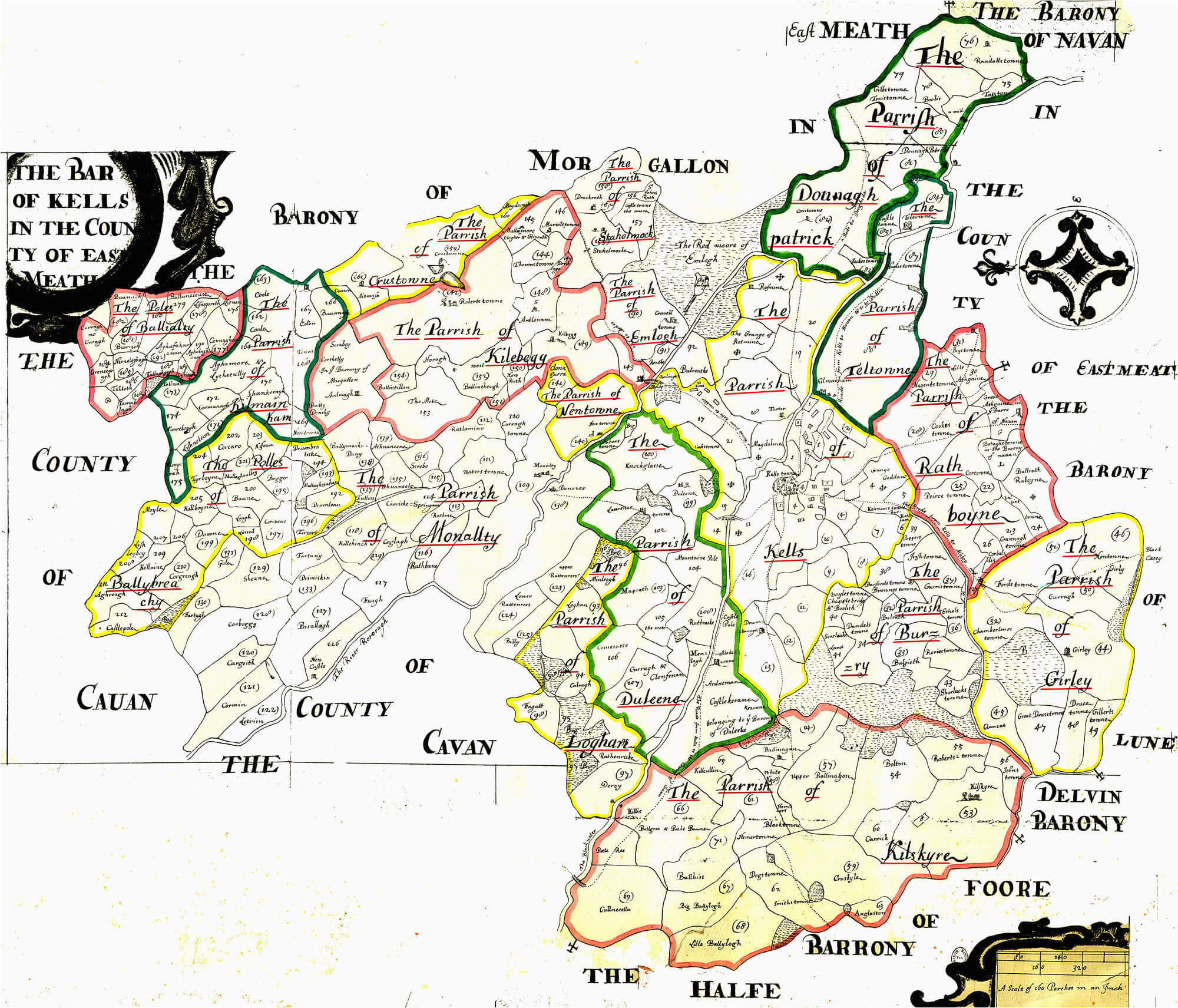 Font in DunboyneFont · 132 yd
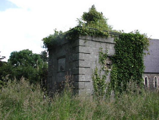 Saint Peter's Church (Dunboyne)mausoleum · 167 yd
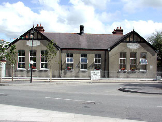 Dunboyne National Schoolschool · 191 yd
 CastleCastle, ringwork · 376 yd
 EnclosureEnclosure, large enclosure · 1118 yd
 Hanwood GardensHeritage attraction · 1.7 mi
 Ash HillMountain / peak · 2.1 mi
 Site of Old CastleCastle, unclassified · 2.6 mi
 Church, GraveyardChurch · 3.3 mi
 TyrrelstownWood · 3.4 mi
 Wesley's WoodsWood · 3.5 mi
 Graveyard in BuzzardstownGraveyard · 3.7 mi