
What is recorded here
The promontory fort (coastal) in Dunabrattin is in County Waterford, Ireland. It occupies a grass-covered area of about six hectares on Dunbrattin Head, cut off from the mainland by an east-west fosse roughly 105 metres long. The entrance causeway, four metres wide, lies towards the east end, while an earthen bank, 5.5 metres wide on the inner side, defended the fosse. Three hut sites were once recorded inside the bank, but they are no longer evident.
Situated on the promontory of Dunbrattin Head. This is a grass-covered area of c. 6ha on a promontory cut off from the mainland by the remains of an E-W fosse (Wth at E 6.8m; ext. D 1.5m; int. D 1.45m; Wth at centre 7.7m; ext. D 0.45m; int. D 0.7m; L of fosse c. 105m). The entrance causeway (Wth 4m) is towards the E end. The fosse was defended on the inner side by an earthen bank (Wth 5.5m; int. H 1-1.5m; ext. H 3m) and there was evidence of three hut sites inside the bank (Westropp 1914-16, 222-4), none of which is now evident. Casey (2001, 133) noted possible internal divisions on the subsidiary headland to the NE of the S end of monument. A subsidiary promontory fort (WA025-069002-) is located internally at the W end of the main defences. An enclosure site (WA025-069003-) is immediately outside the fosse at W, and a possible enclosure (WA025-069001-) is inside the fosse at E.
The above description is derived from the published 'Archaeological Inventory of County Waterford' (Dublin: Stationery Office, 1999). In certain instances the entries have been revised and updated in the light of recent research.
Compiled by: Michael Moore.
Date of upload: 12 January 2015.
The monument record does not grant public access. Check the route and ask the landowner before entering private land.
- What survives
- Recorded monument
Places near here
 Enclosure in DunabrattinEnclosure · 84 yd
 EntrenchmentPromontory fort, coastal · 125 yd
 Boatstrand BeachBeach / strand · 558 yd
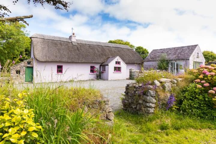 Kilmurrin CoveBeach / strand · 1134 yd
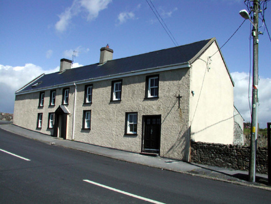 Seaview Househouse · 1.3 mi
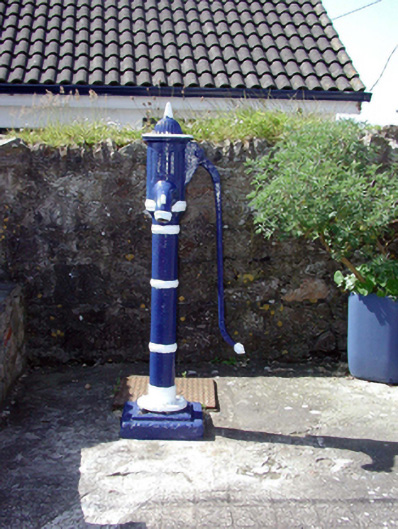 Historic buildingOfficially recorded historic building · 1.3 mi
 Lime KilnVisitor information · 1.5 mi
 Tankardstown 19th Century Copper Mining GeoparkHeritage attraction · 1.6 mi
 Annestown monumentMemorial · 1.7 mi
 St. Bernard's WellSpring · 2.2 mi
 St. Martin's WellSpring · 2.4 mi
 Dunhill CastleCastle · 2.4 mi
Other information
Photo: Credit not shown in the picture search · Rights wording not checked; contact us if this picture should be removed