What is recorded here
Promontory fort stands on a Mayo coast edge, building human warning and shelter where the sea still throws itself at the land. Its stones mark a time when people watched the horizon as closely as they tended their fields, perhaps fearing ships, storms or the ordinary hunger of distance. The fort does not need a written legend to be strange; it is a coil of stone on wet rock, waiting for someone to remember that the coast was once a front line.
The Archaeological Survey of Ireland (ASI) is in the process of providing information on all monuments on The Historic Environment Viewer (HEV). Currently the information for this record has not been uploaded. To access available information for research purposes please make an appointment in advance with the Archive Unit (open Fridays 10.00 am – 5.00 pm), Department of Housing, Local Government and Heritage, The Custom House, Dublin 1 D01W6XO or email NMarchive@housing.gov.ie.
The monument record does not grant public access. Check the route and ask the landowner before entering private land.
- What survives
- Recorded monument
Places near here
 Entrenchment (Site of); GubadoonPromontory fort, coastal · 191 yd
 Memorial Thomas PattenMemorial · 1.5 mi
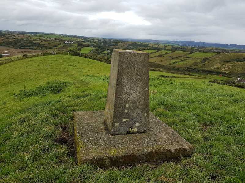 An Cnoc MórMountain / peak · 2.5 mi
 Enclosure in Dumha ÉigeEnclosure · 2.6 mi
 Achill Island - AcaillIsland · 2.9 mi
 Old CraneRuins · 3.3 mi
 Keel BeachBeach / strand · 3.5 mi
 InishgalloonIslet · 3.5 mi
 Cabbage treeCabbage tree · 3.9 mi
 Convent of the Sacred Heartconvent/nunnery · 4.4 mi
 Western Light Art GalleryGallery · 4.4 mi
 Ronan Halpin GalleryGallery · 4.4 mi