What is recorded here
Scotland's National Record of the Historic Environment records Georgetown Victory (part Of) as Liberty Ship (period Unassigned)-(1946). The official map says its point is accurate as follows: NGR given to the nearest 1m. The record does not by itself mean that the public may enter the place.
The *Georgetown Victory* was a Liberty Ship, part of a large class of cargo vessels built in the United States during World War II for military transport. It was likely lost in 1946, after the war, though the exact circumstances of its sinking remain unspecified; it may have been scrapped or wrecked while carrying cargo, with no significant loss of life reported.
The historic-place record does not grant public access. Check current conditions and ownership before entering land or a building.
Places near here
 MEDIEVAL CHURCH RENLES in Killard UpperMEDIEVAL CHURCH RENLES · 1.2 mi
 Ballyhornan Picnic SitePicnic place · 1.3 mi
 Guns IslandIslet · 1.4 mi
 Mullog PointHeadland · 1.5 mi
 A.P. SITEA.P. SITE, oval enclosure · 1.6 mi
 MEDIEVAL CHURCH (unlocated): ABBOT-GRANGE in BallywoodanMEDIEVAL CHURCH (unlocated): ABBOT-GRANGE · 1.8 mi
 Kilclief BeachBeach / strand · 1.9 mi
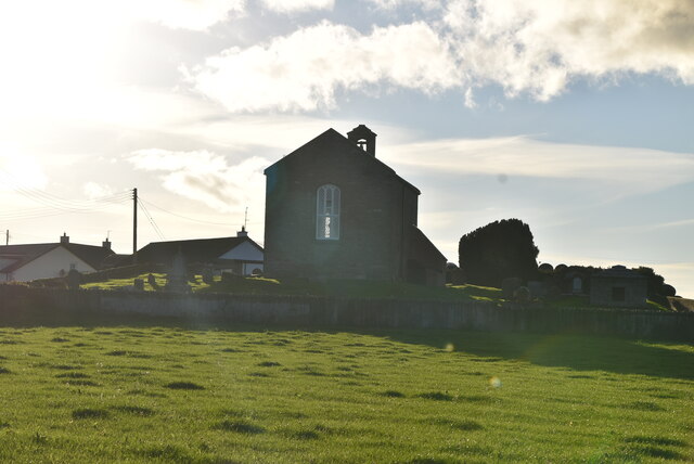 ANGLO-NORMAN COFFIN LIDS (2) (in C. of I. church) & site of MEDIEVAL CHURCH in KilcliefANGLO-NORMAN COFFIN LIDS (2) (in C. of I. church) & site of MEDIEVAL CHURCH · 1.9 mi
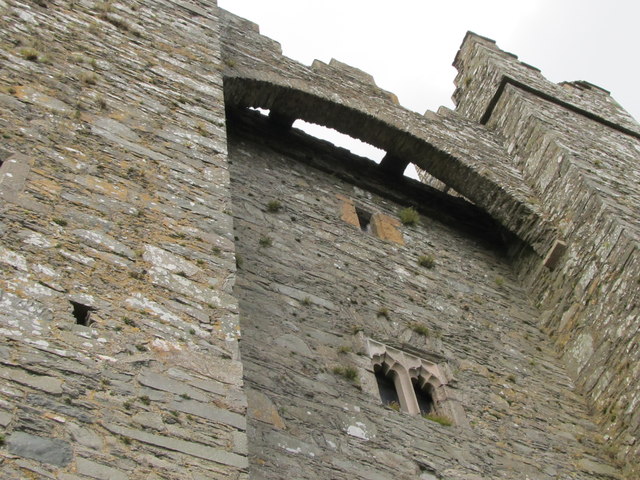 TOWER-HOUSE & C13th COFFIN LID: KILCLIEF CASTLE in KilcliefTOWER-HOUSE & C13th COFFIN LID: KILCLIEF CASTLE · 1.9 mi
 Kilclief CastleCastle · 1.9 mi
 Ballyquintin Point Nature ReserveNature reserve · 2.0 mi
 LignatinnyBay · 2.5 mi