What is recorded here
Scotland's National Record of the Historic Environment records Georgetown Victory (part Of) as Liberty Ship (period Unassigned)-(1946). The official map says its point is accurate as follows: NGR given to the nearest 1m. The record does not by itself mean that the public may enter the place.
The *Georgetown Victory* was a Liberty Ship, part of a large class of cargo vessels built in the United States during World War II for military transport. It was lost in 1946, likely due to post-war decommissioning or disposal, with no specific details on lives lost, though its cargo and structure were abandoned; its significance lies in representing the widespread use and eventual fate of Liberty Ships in the post-war era.
The historic-place record does not grant public access. Check current conditions and ownership before entering land or a building.
Places near here
 MEDIEVAL CHURCH RENLES in Killard UpperMEDIEVAL CHURCH RENLES · 1.2 mi
 Ballyhornan Picnic SitePicnic place · 1.3 mi
 Guns IslandIslet · 1.3 mi
 Mullog PointHeadland · 1.5 mi
 A.P. SITEA.P. SITE, oval enclosure · 1.6 mi
 MEDIEVAL CHURCH (unlocated): ABBOT-GRANGE in BallywoodanMEDIEVAL CHURCH (unlocated): ABBOT-GRANGE · 1.8 mi
 Kilclief BeachBeach / strand · 2.0 mi
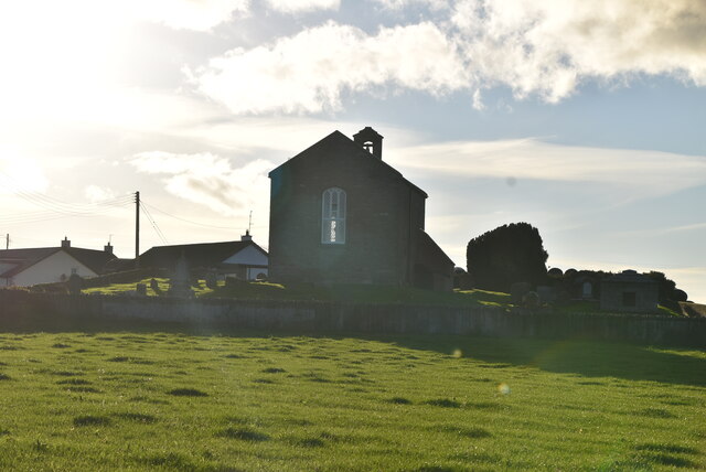 ANGLO-NORMAN COFFIN LIDS (2) (in C. of I. church) & site of MEDIEVAL CHURCH in KilcliefANGLO-NORMAN COFFIN LIDS (2) (in C. of I. church) & site of MEDIEVAL CHURCH · 2.0 mi
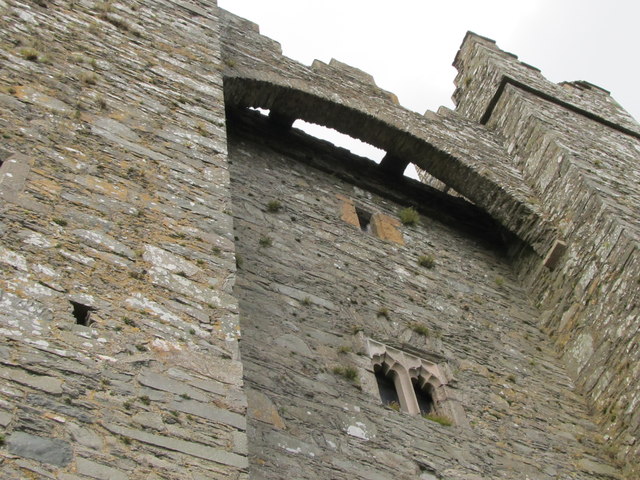 TOWER-HOUSE & C13th COFFIN LID: KILCLIEF CASTLE in KilcliefTOWER-HOUSE & C13th COFFIN LID: KILCLIEF CASTLE · 2.0 mi
 Kilclief CastleCastle · 2.0 mi
 Ballyquintin Point Nature ReserveNature reserve · 2.0 mi
 LignatinnyBay · 2.5 mi