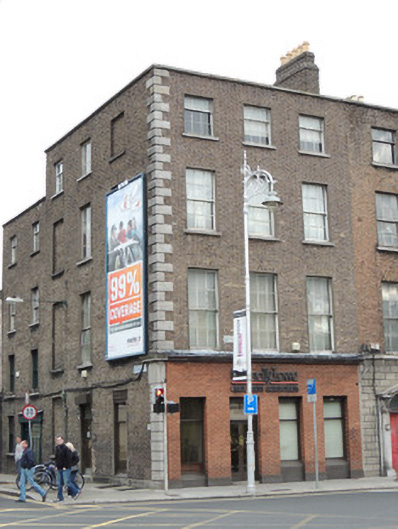
What is recorded here
Corner-sited end-of-terrace three-bay four-storey former house, built c.1780, with three-bay side elevation to west. Now in use as offices. M-profile slate roof with stone ridge tiles, hipped to west and shared with No.2 to east. Brown brick chimneystacks on party wall with No.2 to east, having replacement terracotta chimneypots. Stone coping to parapet. Brown brick walls laid in Flemish bond, with recent replacement red brick to ground floor of south elevation, cut stone quoins to south-west corner, and granite plinth. Metal street name plaque to first floor of front (south) elevation reading 'INNS QUAY', one to west elevation reading 'CHANCERY PLACE'. Square-headed window openings, with three-over-six pane timber sash windows to third floor, six-over-six pane timber sash windows to first and second floors. Blind window openings to northern bay of west elevation, and southern bay at third floor level. Some replacement windows to west elevation. Square-headed door opening to west elevation having replacement door and granite step. Concrete paving with granite kerbstones to south and east elevations.
No.3 Inns Quay forms part of a terrace of three late eighteenth-century former houses facing south to the River Liffey. Despite the introduction of the recent brickwork at ground floor level, the former house retains its elegant late eighteenth-century proportions and contains early fabric such as timber sash windows, roof slates, and granite kerbstones to the south and west. King's Inns Quay is sited on Rocque's map of 1756, taking its name from the King's Inns which occupied the site since its foundation in 1561. The buildings lining the quay were redeveloped at the turn of the nineteenth century with the construction of the Four Courts (built c.1802). The quay was renamed Inns Quay in the mid twentieth century. Directly neighbouring the Four Courts, No.3 Inns Quay was occupied by solicitors' offices throughout the nineteenth and twentieth centuries.
This does not grant access. Most recorded buildings are privately owned; view them only from public ground unless the owner allows entry.
Places near here
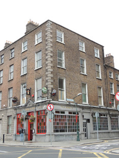 O'Reilly Bros.house · 16 yd
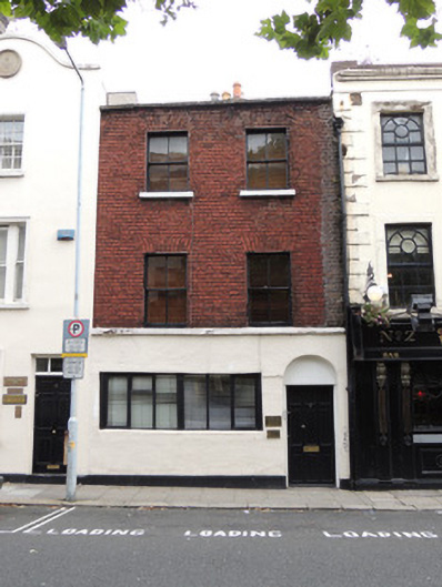 R.T. Ringrose Solicitorshouse · 30 yd
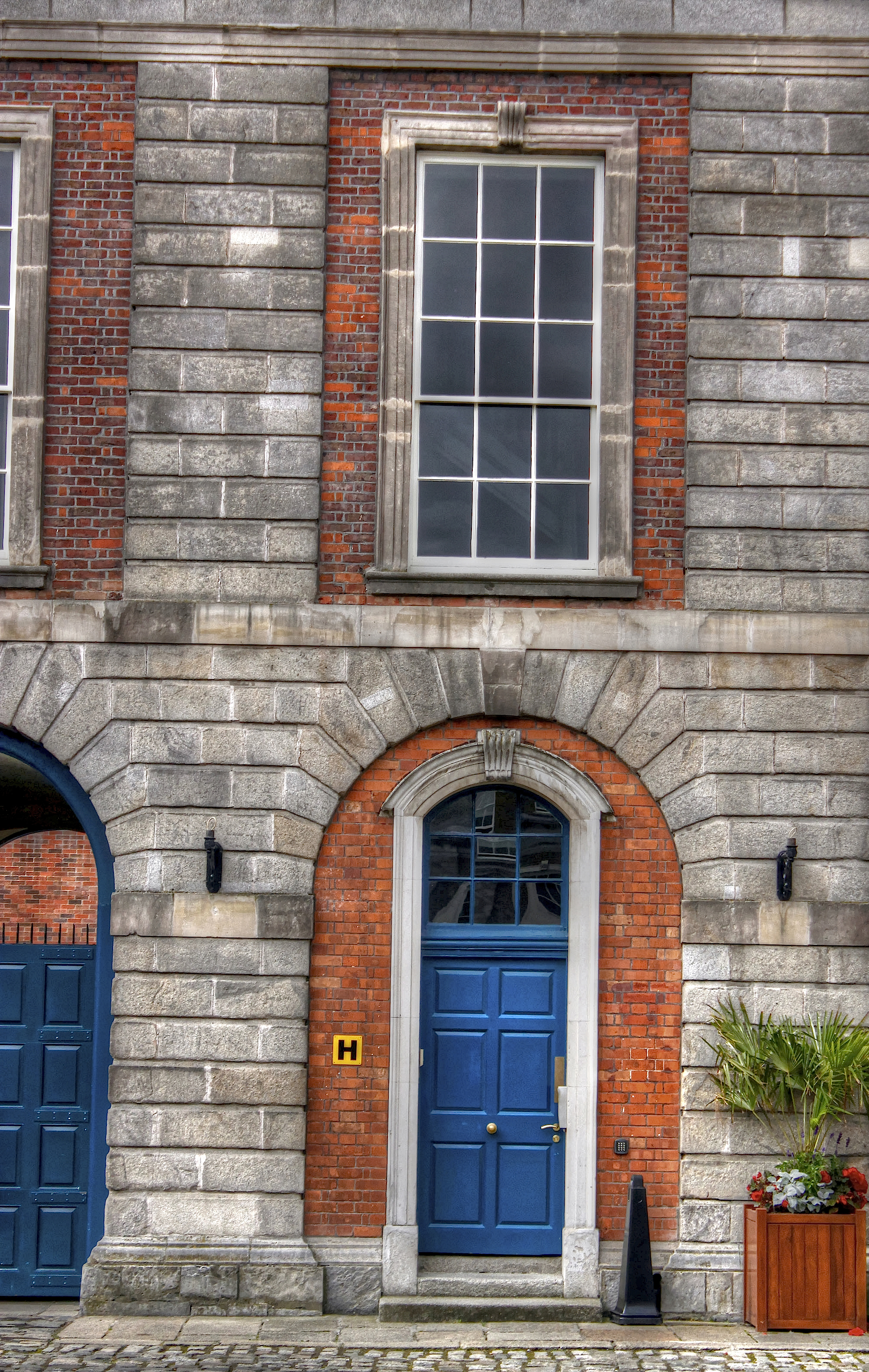 Courthouse in Unknown TownlandCourthouse · 222 yd
 Ecclesiastical residence in Unknown TownlandEcclesiastical residence · 227 yd
 Saint Audoen's GateHeritage attraction · 253 yd
 Medieval City Wall and St. Audeon's ArchHeritage attraction · 273 yd
 Gairdín Súgartha i gCuimhne ar na Páistí a Cailleadh in 1916Memorial · 329 yd
 John FieldMemorial · 380 yd
 Medieval DublinVisitor information · 382 yd
 London PlaneLondon Plane · 783 yd
 European PearEuropean Pear · 889 yd
 Apple OrchardVisitor information · 987 yd
Other information
Photo: National Inventory of Architectural Heritage · Website use allowed for educational or private purposes with source credit