What is recorded here
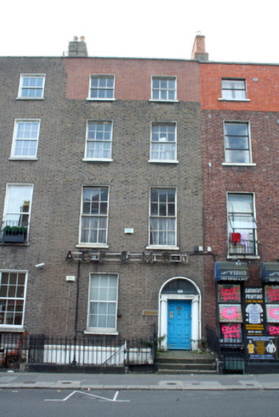
Terraced two-bay four-storey house over basement, built c.1795. Formerly in use as office. Now vacant. M-Profile pitched slate roof having red brick parapet wall with squared granite coping. Yellow brick chimneystack with moulded clay pots, shared with No. 23. Flemish bond yellow brick walls having red brick repairs to parapet and third floor and moulded granite plinth over ruled-and-lined rendered walls to basement. Disused neon sign 'A.G.E. & M.O.U.' below first floor windows. Square-headed window openings with gauged red brick voussoirs, patent rendered reveals, granite sills and timber sliding sash windows throughout, with exception of ground floor. Three-over-three pane windows to third floor, six-over-six pane arrangements to first and second floors, two-over-two pane to basement with sash horns and recent window guards. Round-headed door opening with patent rendered reveals and painted stone doorcase comprising engaged Ionic columns surmounted by entablature with convex moulded panel and plain fanlight. Timber panelled door with brass door furniture and timber weather board. Square-headed door opening to basement now blocked. Stepped granite approach and platform to entrance, bridging basement area. Spearheaded wrought-iron railings on moulded granite plinth enclosing basement area and flanking approach. Recent replacement metal gate and concrete steps giving access to basement area.
No. 22 is a fine example of a townhouse and it makes a significant contribution to the streetscape. It appears to have been built as a pair with No. 23. Their yellow brickwork sets them apart from the predominantly red brick houses elsewhere on the street, though the adjacent houses Nos. 20 and 21 are of similar scale and materials. Judging from the exterior, and with the exception of the basement, the property appears to be in reasonably good condition with most of its original features intact. The barley fields north of Cavendish Row were surveyed by Thomas Sherrard in 1789 and in 1790 a plan of Frederick Street North was laid before the Wide Street Commissioners. It was approved by the Wide Streets Commission and its development is documented in the Wide Streets Commission’s minutes of the time. The street opened in 1795, with development continuing into the early decades of the nineteenth century. It formed a connecting route from Rutland Square (now Parnell Square), through the ‘Barley field’ depicted on Wilson’s Directory maps, to the north.
This does not grant access. Most recorded buildings are privately owned; view them only from public ground unless the owner allows entry.
Places near here
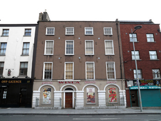 Wislahouse · 26 yd
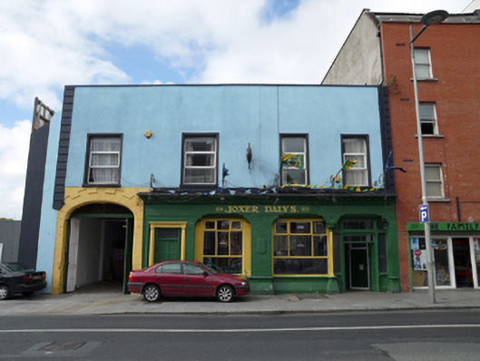 Joxer Daly'shouse · 86 yd
 Burial ground in Unknown TownlandBurial ground · 340 yd
 Chinese ToonChinese Toon · 366 yd
 Iris MurdochMemorial · 391 yd
 Hungry TreeHeritage attraction · 719 yd
 London PlaneLondon Plane · 724 yd
 Burial in Unknown TownlandBurial · 760 yd
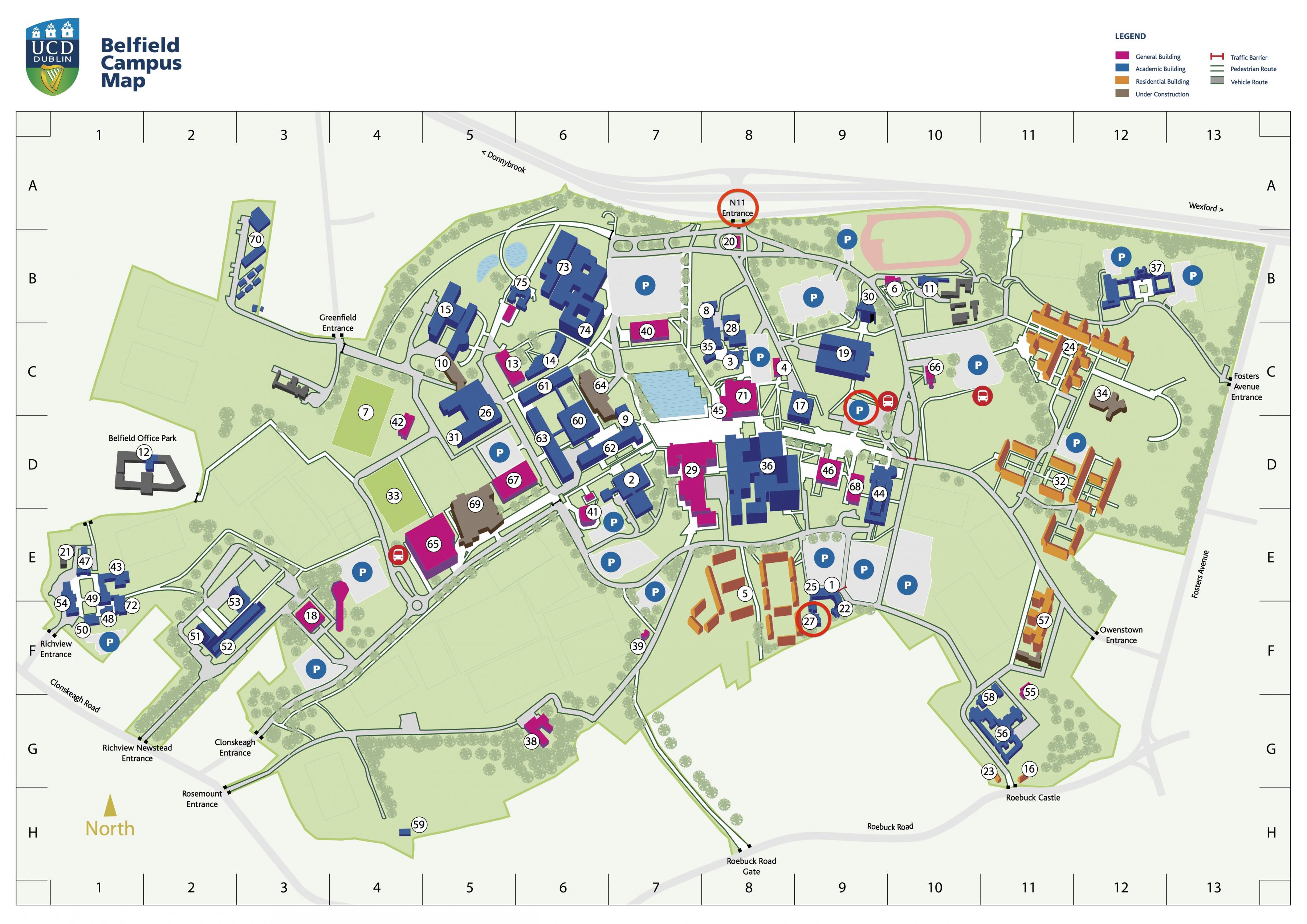 Campus Information PointVisitor information · 1149 yd
 Burning of the Custom Housearmed conflict · 1221 yd
 Old Jameson DistilleryMuseum · 1261 yd
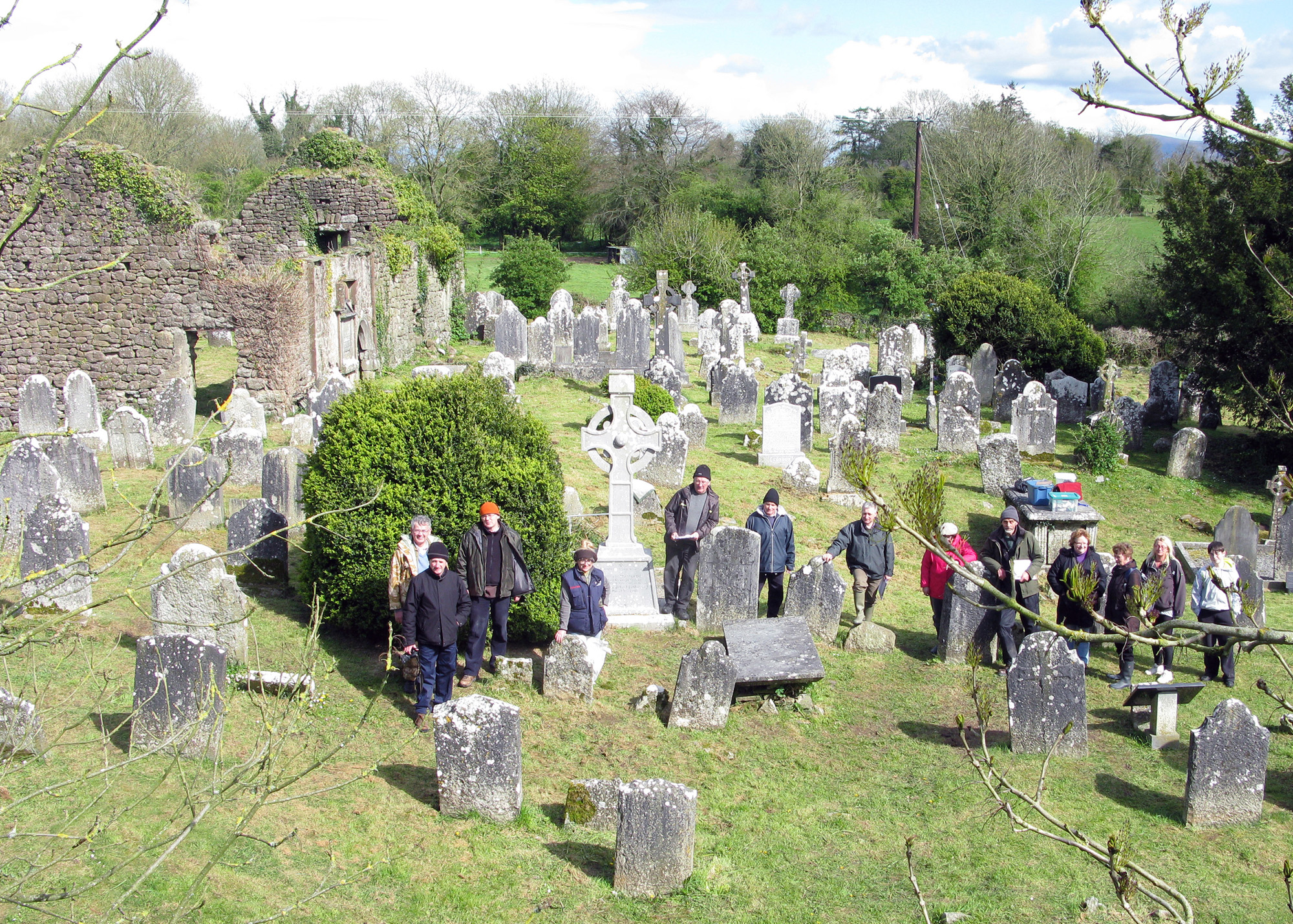 Graveyard in Unknown TownlandGraveyard · 1401 yd
Other information
Photo: National Inventory of Architectural Heritage · Website use allowed for educational or private purposes with source credit