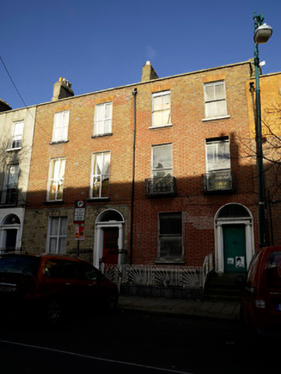
What is recorded here
Pair of terraced two-bay three-storey over basement former houses, built c.1800, now in use as flats. Pitched M-profile roof having parapet to front (south) elevation with cut granite capping. Brown brick chimneystacks having clay chimneypots. Brown and red brick walls laid in Flemish bond having recent stone cladding to ground floor of no.29. Cut granite plinth course over rendered walls to basement. Square-headed window openings having patent reveals and cut granite sills. Cast-iron balconettes to first floor windows of no.28. One-over-one pane timber sash windows to no.28, two-over-two panes to second floor, eight-over-four pane timber sash window to basement of no.28. Replacement uPVC windows to no.29. Round-arched door openings having painted masonry surround with engaged columns supporting plain frieze and cornice. Plain fanlights. Cut granite steps to entrance platforms. Basement areas enclosed from pavement and entrance platform by cut granite plinth wall with cast-iron railings to no.29 and recent metal panels to no.28. Access to basement area of no.29 from pavement level by concrete stairs. Cast-iron coal-hole covers set in granite paving to front.
This pair makes an important contribution to the streetscape of Blessington Street. It retains early fabric including some sash windows and decorative door surrounds. Unlike neighbouring properties the basement area of no.28 remains intact without access from pavement level and retains an early sash window. It shares proportions and characteristics with neighbours resulting in a coherent streetscape. Blessington Street was laid out at the end of the eighteenth century, appearing in the alphabetical list of streets in Wilson's Dublin Directory for the first time in 1795. It terminates to the west at Blessington Street Basin, constructed in 1810 as a city reservoir supplied from the nearby canal, it is now a public park.
This does not grant access. Most recorded buildings are privately owned; view them only from public ground unless the owner allows entry.
Places near here
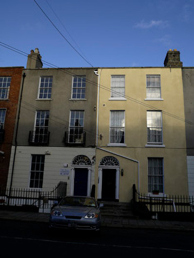 Celts Househouse · 20 yd
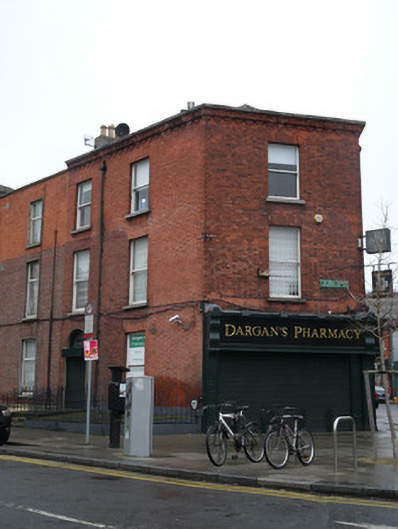 Dargan's Pharmacyhouse · 25 yd
 Chinese ToonChinese Toon · 82 yd
 Iris MurdochMemorial · 91 yd
 Hugh Lane GalleryGallery · 409 yd
 Irish Volunteers memorialMonument · 471 yd
 King's Inns ParkVisitor information · 517 yd
 Burial ground in Unknown TownlandBurial ground · 646 yd
 Hungry TreeHeritage attraction · 681 yd
 London PlaneLondon Plane · 686 yd
 Burial in Unknown TownlandBurial · 824 yd
 Burning of the Custom Housearmed conflict · 1526 yd
Other information
Photo: National Inventory of Architectural Heritage · Website use allowed for educational or private purposes with source credit