What is recorded here
Drumsluice holds a rath, an ancient earthwork whose boundaries still mark the landscape despite the absence of a visible ruin. The name itself refuses to explain, forcing imagination to fill the vacancy left by forgotten builders. Perhaps it was a fortress, a boundary marker, or a place of ritual, but the land has kept the shape while releasing the meaning. What remains is a challenge: to see the extraordinary in an ordinary circle of soil and to ask what human hands made it.
The official Northern Ireland record identifies this as RATH. Recorded period: E.CHRIST.. The official map point was placed at the centre of the recorded archaeological site from the source map reference.
The monument record does not grant public access. Check the route and ask the landowner before entering private land.
- What survives
- Recorded monument
Places near here
 CHURCH SITE (unlocated) in BallycassidyCHURCH SITE (unlocated) · 1075 yd
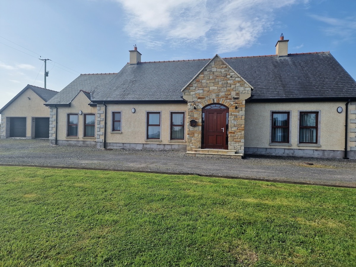 HOLY WELL & possibly CHURCH SITE: ST. MOLAISES' WELL, BAILE UI CHAISIDE in BallycassidyHOLY WELL & possibly CHURCH SITE: ST. MOLAISES' WELL, BAILE UI CHAISIDE · 1400 yd
 Kilgortnaleague BridgeBridge · 1686 yd
 Long IslandIsland · 1.5 mi
 The Priory ChurchChurch · 1.7 mi
 Hay IslandIsland · 1.7 mi
 Derrynanny WoodWood · 2.1 mi
 CASTLE (unlocated) in DrumkeenCASTLE (unlocated) · 2.2 mi
 Clough's WoodWood · 2.5 mi
 PLANTATION BAWN in RossclarePLANTATION BAWN · 2.5 mi
 Devenish IslandIsland · 3.1 mi
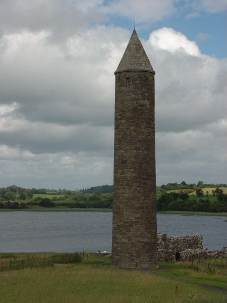 Devenish Island Round TowerViewpoint · 3.3 mi