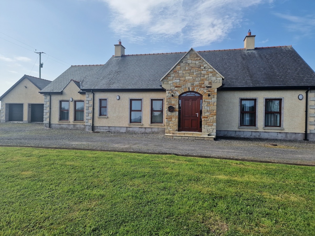
What is recorded here
St. Molaises' Well in Ballycassidy marks a medieval holy site where water likely sustained life and devotion before any building remained. The name suggests a church once stood beside the well, though only the water and memory persist now. People may have drawn from it during hardship, celebration or quiet prayer, trusting the saint's presence to give the act meaning.
The official Northern Ireland record identifies this as HOLY WELL & possibly CHURCH SITE: ST. MOLAISES' WELL, BAILE UI CHAISIDE. Recorded period: MEDIEVAL; UNCERTAIN. The official map point was placed at the centre of the recorded archaeological site from the source map reference.
Linked to St. Molaise, an early Irish saint associated with several holy sites in Ireland, the well was traditionally visited for its healing properties, particularly for skin ailments and eye complaints. Local tradition holds that the name "Ballycassidy" may derive from the Irish "Baile Ui Chaiside," possibly referencing an early Christian settlement or a family connected to the saint.
The monument record does not grant public access. Check the route and ask the landowner before entering private land.
- What survives
- Recorded monument
Places near here
 CHURCH SITE (unlocated) in BallycassidyCHURCH SITE (unlocated) · 512 yd
 HOLY WELL in CloghballyHOLY WELL · 1321 yd
 St. Michael's ChurchChurch · 1.1 mi
 Kilgortnaleague BridgeBridge · 1.2 mi
 Ferny IslandIsland · 1.3 mi
 White IslandIsland · 1.3 mi
 CASTLE (unlocated) in DrumkeenCASTLE (unlocated) · 2.3 mi
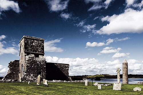 Devenish IslandIsland · 2.3 mi
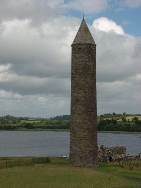 Devenish Island Round TowerViewpoint · 2.5 mi
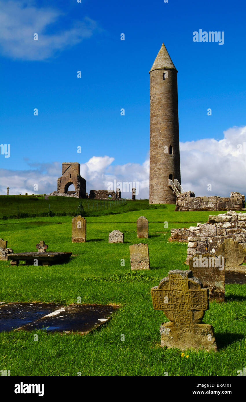 Devenish Monastic Site MuseumMuseum · 2.6 mi
 Derrynanny WoodWood · 2.9 mi
 PLANTATION BAWN in RossclarePLANTATION BAWN · 3.0 mi
Other information
Photo: Credit not shown in the picture search · Rights wording not checked; contact us if this picture should be removed