What is recorded here
No amount of thinking can replace the fact that you want to know the answer. Moth or flame, the distinction is whether you fly or burn. There is no hidden meaning in that much less a victim.
Situated towards the NW end of a short NW-SE drumlin ridge. A small circular embanked enclosure (ext. diam. c. 25m) is depicted only on the 1834 edition of the OS 6-inch map where it is described in gothic lettering as a ‘fort’. No archaeological feature is visible at ground level in pasture.
The above description is derived from the published 'Archaeological Inventory of County Monaghan' (Dublin: Stationery Office, 1986). In certain instances the entries have been revised and updated in the light of recent research.
Revised by: Michael Moore
Date of upload/revision: 22 June 2018
The monument record does not grant public access. Check the route and ask the landowner before entering private land.
- What survives
- Recorded monument
Places near here
 Portal tomb in LennanPortal tomb · 391 yd
 Mass-rock in CargaghramerMass-rock · 742 yd
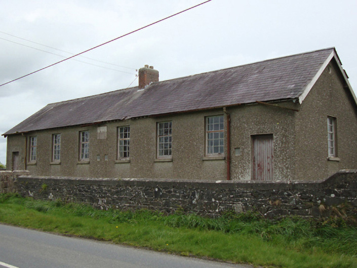 Corvoy National Schoolschool · 1.7 mi
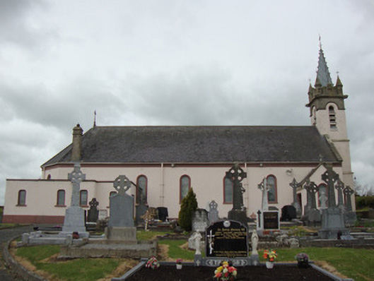 Catholic Church of Our Lady of the Most Holy Rosarychurch/chapel · 1.8 mi
 Fort HillWood · 2.0 mi
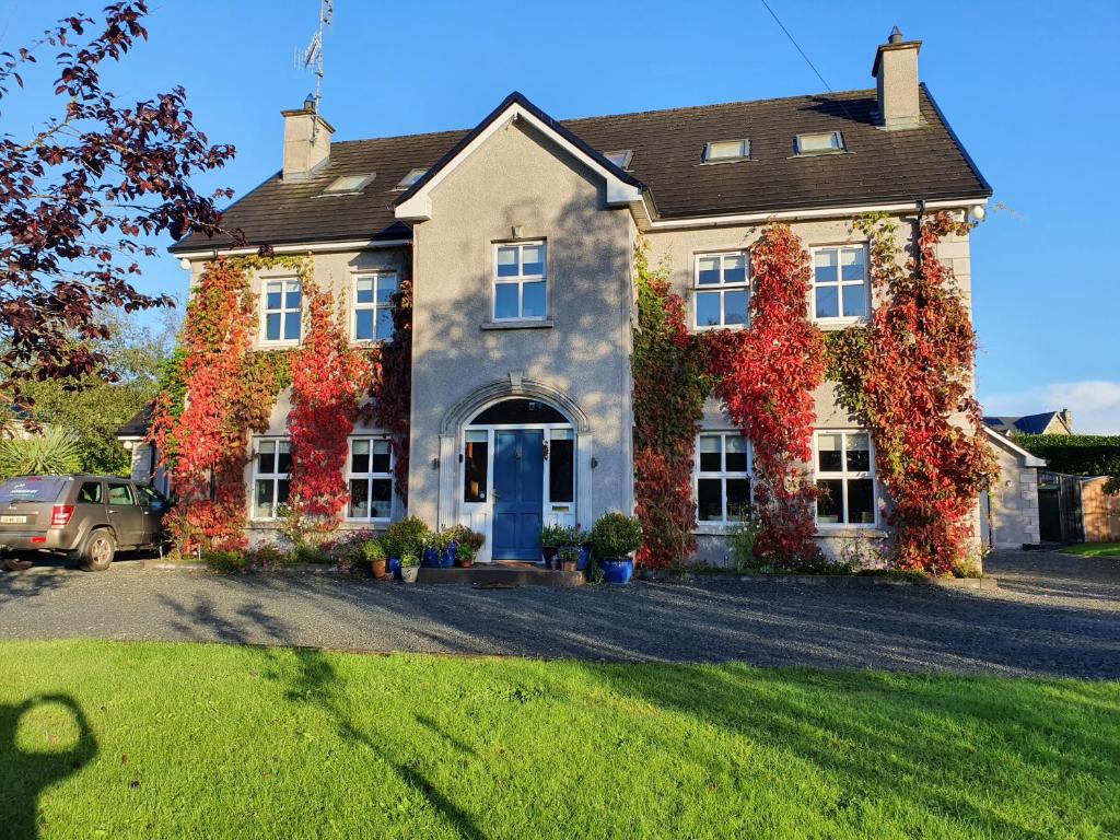 Knockamaddy Big WoodWood · 2.6 mi
 Battle of ClontibretBattlefield · 4.0 mi
 Monaghan WayWalking route · 4.1 mi
 The CrescentMemorial · 5.0 mi
 John Francis GreenMemorial · 5.2 mi
 LisnaspeenanMountain / peak · 8.1 mi
 Fedd HillMountain / peak · 8.3 mi