
What is recorded here
Drumlargan’s ecclesiastical enclosure is a broad, interrupted circle where a church, graveyard, road, field bank and forgotten burials still share one shallow slope. Its boundary is not a proud wall but a patchwork of scarp, ditch trace, curving road and later field work, as if the place kept absorbing every human change around it. The church gave the enclosure its heart, yet the wider circle suggests older or broader use, perhaps burial, gathering or devotion before the present building gave the area its familiar shape.
Situated on a slight E-facing slope. The parish church of Drumlargan (ME043-037----) and it s graveyard (ME043-037001-) are within a larger ecclesiastical enclosure (diam. c. 170m) defined by a scarp and slight traces of an external ditch E-S, and by a curving road NW-NE, but it has been curtailed by a NW-SE field bank at SW. Burials were found in the W part of the larger enclosure in 1982 (SMR file). Archaeological testing (04E0745) on the line of the perimeter at NE failed to produce any related material (Duffy 2007).
Compiled by: Michael Moore
Date of upload: 24 March, 2014
The monument record does not grant public access. Check the route and ask the landowner before entering private land.
- What survives
- Recorded monument
Places near here
 Church (in Ruins)Church · 32 yd
 Summerhill HouseRuins · 1.2 mi
 Enclosure in Summerhill DemesneEnclosure · 1.5 mi
 EnclosureEnclosure, large enclosure · 1.6 mi
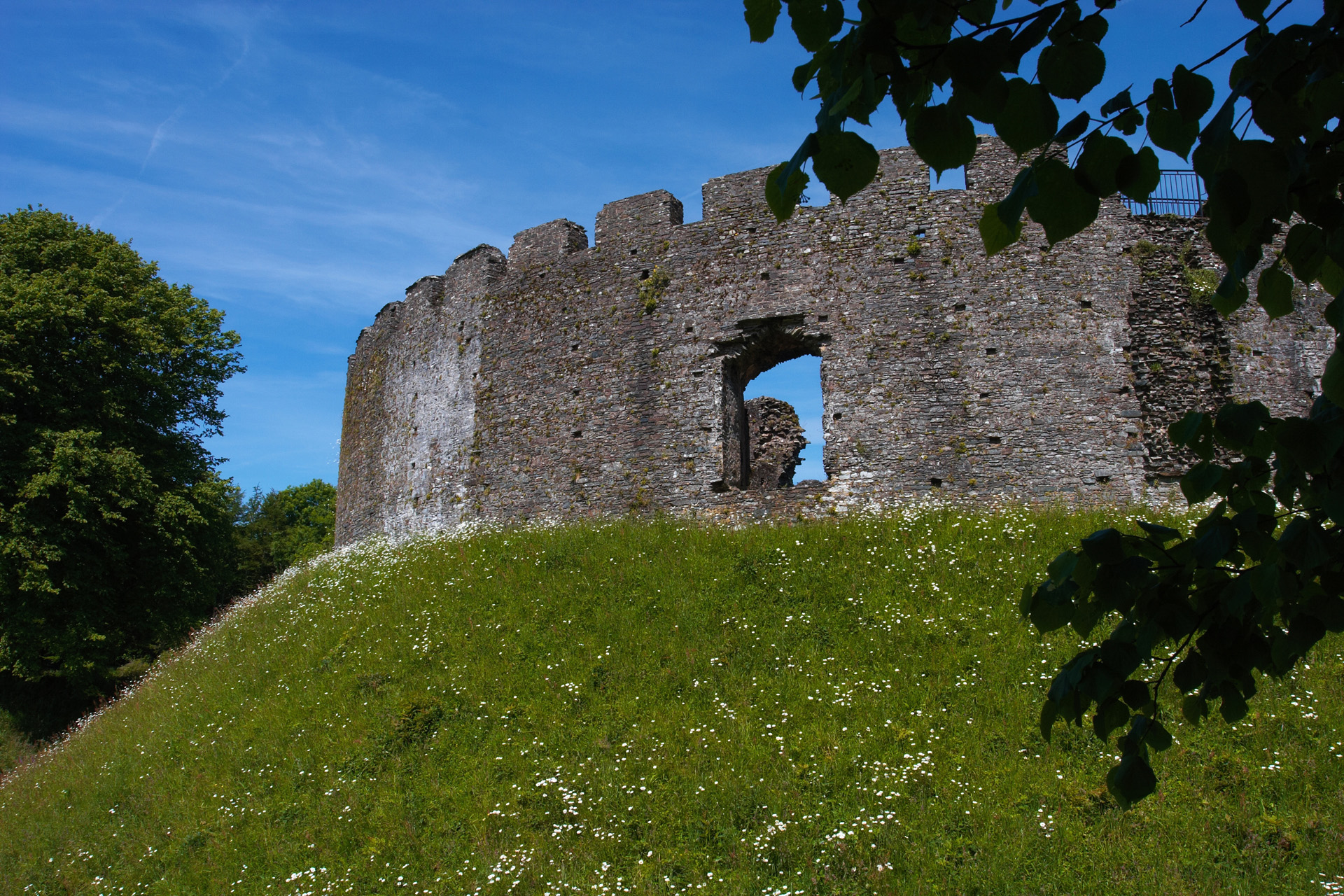 CastleCastle, motte and bailey · 1.6 mi
 Kilgar GardensHeritage attraction · 2.0 mi
 European ashEuropean ash · 2.1 mi
 Larchil Arcadian GardensHeritage attraction · 2.6 mi
 MullaghMountain / peak · 3.1 mi
 Old Bog Road made famous by Teresa Bryton 1868-1943Memorial · 3.5 mi
 Dangan CastleCastle, tower house · 3.5 mi
 Saints IslandForest · 3.6 mi
Other information
Photo: Credit not shown in the picture search · Rights wording not checked; contact us if this picture should be removed