
What is recorded here
Indicated is a circular rath at the western edge of a Monaghan drumlin ridge, now hidden inside a tight ring of coniferous trees. Its earthen bank still stands beside a shallow outer drain, but no entrance remains visible, suggesting the fort was redesigned rather than abandoned. The trees may have grown from seeds carried by wind or planted by forgotten hands, turning a defensive boundary into a living chamber where human memory and forest time have become difficult to separate.
Located at the W end of an E-W ridge, which is one of the summits of an E-W drumlin ridge. This is a circular area (diam. 34.3m NE-SW; 33.5m NW-SE) planted in coniferous trees and defined by an earthen bank (at NW: Wth of base 2.9m; int. H 0.7m; ext. H 1.6m), with an outer fosse or drain (Wth of top 1.6m; Wth of base 0.7m; ext. D 0.6m) W-N, and a lane is just outside the bank ENE-S-W. There is no visible entrance, and it is probably a rath that has been adapted as a tree-ring.
The above description is derived from the published 'Archaeological Inventory of County Monaghan' (Dublin: Stationery Office, 1986). In certain instances the entries have been revised and updated in the light of recent research.
Revised by: Michael Moore
Date of revision: 19 June 2018
The monument record does not grant public access. Check the route and ask the landowner before entering private land.
- What survives
- Recorded monument
Places near here
 Giants GraveCourt tomb · 789 yd
 Holy Trinity Catholic Churchchurch/chapel · 812 yd
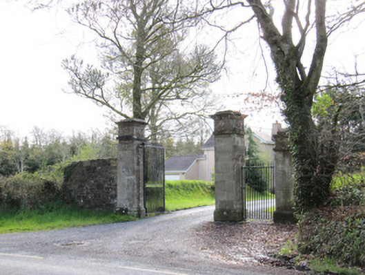 Dartrey Housegates/railings/walls · 1171 yd
 Dawson MonumentMonument · 1308 yd
 LisnaspeenanMountain / peak · 1702 yd
 Rabbitburrow WoodWood · 1.0 mi
 Fedd HillMountain / peak · 1.2 mi
 Back WoodForest · 1.3 mi
 Bawn in DrumsheilBawn · 5.3 mi
 Roosky Castle (Site of)Castle, ringwork · 5.6 mi
 Saint John's WellSpring · 6.6 mi
 Senator Billy Fox 1939 - 1974Memorial · 7.1 mi
Other information
Photo: Credit not shown in the picture search · Rights wording not checked; contact us if this picture should be removed