What is recorded here
No visible trace remains, but the land still holds the shape of a circular fort sixty-five metres across. Two faces of upright blocks once formed a wall nearly two metres thick, and people walked that edge when the grass was young. The field has swallowed the stones, yet the ring persists beneath the soil like a forgotten heartbeat.
In grassland. Classified by McCaffrey (1952, 273, no. 40) as a circular ‘Stone fort’ (diam. c.
65m) defined by a wall (Wth 1.82m; H 0.83m) 'composed of two faces of blocks set on edge. The cashel has been levelled but its outline is clearly visible on the OSi digitaglobe aerial photograph.
Compiled by: Galway Archaeological Survey, UCG
Date of upload: 11 December 2017
The monument record does not grant public access. Check the route and ask the landowner before entering private land.
- What survives
- Recorded monument
Places near here
 Drumharsna Castle (in ruins)Castle, tower house · 997 yd
 Drumharsna CastleHeritage attraction · 999 yd
 Enclosure in Drumharsna SouthEnclosure · 1020 yd
 IndicatedEnclosure · 1140 yd
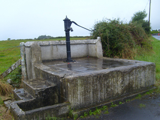 water pumpwater pump · 1430 yd
 Maryville Househouse · 1.1 mi
 Ballymaquiff CastleCastle · 1.2 mi
 HawthornHawthorn · 2.5 mi
 European ashEuropean ash · 2.5 mi
 Mulroney's IslandIslet · 4.1 mi
 Cusheen IslandIslet · 4.4 mi
 Drumacoo Monastic SiteHeritage attraction · 4.8 mi