What is recorded here
Fifty metres from the eastern shore of Lough Machugh, a stony island rises fifteen centimetres above the water, ringed by upright timbers driven into the lakebed. The crystals catch light that the surrounding grass cannot hold, marking the exact moment the lake last withdrew. Whoever placed those timbers understood the lake’s tide better than any human instrument could measure.
Located c. 50m from the E shores of Lough Machugh, a subrectangular lake (dims c. 650-850m N-S; c. 300m E-W at N to c. 500m E-W at S). This is an overgrown stony island (diam. c. 25-30m; H 1.5m) surrounded by a line of upright timbers placed 1.5m apart in the water S-W. The island is clearly defined by a boulder edge at W and N, but the perimeter is less clear at NE.
The above description is derived from 'The Archaeological Inventory of County Leitrim' compiled by Michael J. Moore (Dublin: Stationery Office, 2003). In certain instances the entries have been revised and updated in the light of recent research.
Compiled by: Michael Moore
Date of upload: 23 September 2008
Amended: 5 December 2019
The monument record does not grant public access. Check the route and ask the landowner before entering private land.
- What survives
- Recorded monument
Places near here
 Sweathouse in Cavan (mohill By.)Sweathouse · 887 yd
 Enclosure in DrumhanyEnclosure · 1330 yd
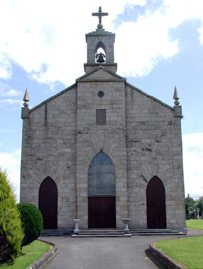 Catholic Church of the Immaculate Conceptionchurch/chapel · 2.3 mi
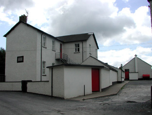 Saint Joseph's National Schoolschool · 2.4 mi
 Tom Dunphy MemorialMemorial · 2.6 mi
 Turlough O'Carolan MonumentHeritage attraction · 2.7 mi
 Declaration of IndependenceMemorial · 3.2 mi
 Wildlife AreaNature reserve · 3.2 mi
 TuliptreeTuliptree · 4.2 mi
 Little IslandIslet · 4.3 mi
 CastleCastle, tower house · 4.3 mi
 Duck IslandIslet · 4.3 mi