What is recorded here
Indicated is a fairy fort or earthen ringfort in Drumdaff (boyle By.), County Roscommon, Ireland. It occupies a D-shaped grass-covered area on the north-facing slope of a shelf towards the bottom of the south-facing slope of Kilronan Mountain. A scarp rises from 0.2m on the east and south to 1.25m at the north, with stones revetting the east side. The straight west side has a fosse and outer bank but no visible entrance, while an open house site remains inside the unplanted monument within a coniferous forest.
On the N-facing slope of a shelf which is towards the bottom of the S-facing slope of Kilronan Mountain. D-shaped grass-covered area with some bushes (dims 18.2m E-W; 17.7m N-S) defined by a scarp (H 0.2m E-S to 1.25m at N), which is revetted with stones at E. There is a fosse (Wth of top 4.3m; D 0.7m) and outer bank (Wth 2.5m; ext. H 0.2m) on the straight W side, but there is no visible entrance. A house site (RO002-019001-) (int. dims. 5.7m E-W; 4.5m N-S) in the interior is defined by an earthen bank (Wth 2-2.5m; H 0.1-0.2m), but it is open at the E side. The monument is unplanted within a coniferous forest (OSAP).
Compiled by: Michael Moore
Date of upload: 24 August 2010
The monument record does not grant public access. Check the route and ask the landowner before entering private land.
- What survives
- Recorded monument
Places near here
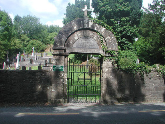 graveyard/cemeterygraveyard/cemetery · 706 yd
 AltarAltar · 710 yd
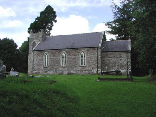 Saint Thomas's Church (Kilronan)church/chapel · 720 yd
 Loughend IslandIsland · 1098 yd
 Orchard IslandIsland · 1509 yd
 Clothesrock WoodWood · 1533 yd
 Kilronan MountainMountain / peak · 1591 yd
 Knockranny WoodsForest · 1.1 mi
 Turlough O'CarolanMemorial · 1.1 mi
 Sweat House (Disused)Sweathouse · 1.1 mi
 Arigna Mining ExperienceMuseum · 1.6 mi
 Josie McDermott MemorialMemorial · 2.1 mi