What is recorded here
Drumcaw holds a rath, an ancient fortified place marked on the official map. The stones may have served as a boundary marker, a watchtower, or a home for people who understood the land before written history. Its shape suggests human intention, perhaps pride, perhaps survival. The exact purpose has faded, but the rath still stands as a reminder that the area was shaped long before modern records.
The official Northern Ireland record identifies this as RATH. Recorded period: E.CHRIST.. The official map point was placed at the centre of the recorded archaeological site from the source map reference.
The monument record does not grant public access. Check the route and ask the landowner before entering private land.
- What survives
- Recorded monument
Places near here
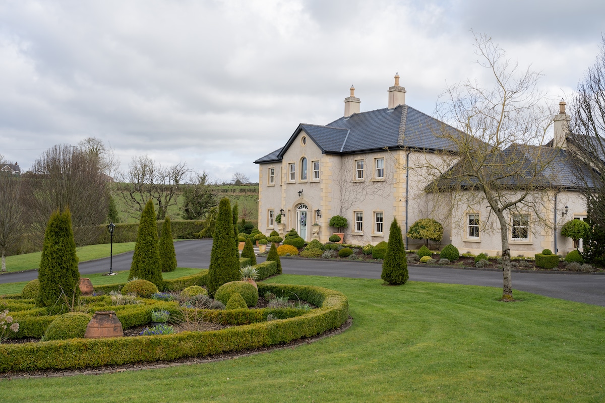 PLANTATION HOUSE & BAWN & LATER HOUSE: MANOR WATERHOUSE in Manor Water HousePLANTATION HOUSE & BAWN & LATER HOUSE: MANOR WATERHOUSE · 1498 yd
 ENCLOSURE? in Aghamore SouthENCLOSURE? · 1641 yd
 EARLY MONASTIC SITE, MULTIPERIOD CHURCH SITE & GRAVEYARD: AGHALURCHER or ST RONAN'S CHURCH in Aghalurcher GlebeEARLY MONASTIC SITE, MULTIPERIOD CHURCH SITE & GRAVEYARD: AGHALURCHER or ST RONAN'S CHURCH · 1.2 mi
 Holy Trinity ChurchChurch · 2.6 mi
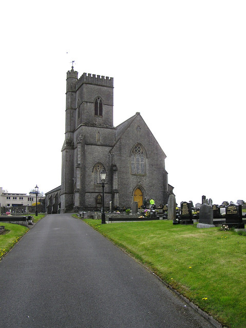 CHURCH in LisnaskeaCHURCH · 2.6 mi
 Creaghanachreesty IslandIsland · 2.6 mi
 Castle BalfourCastle · 2.6 mi
 Geddagh IslandIsland · 2.6 mi
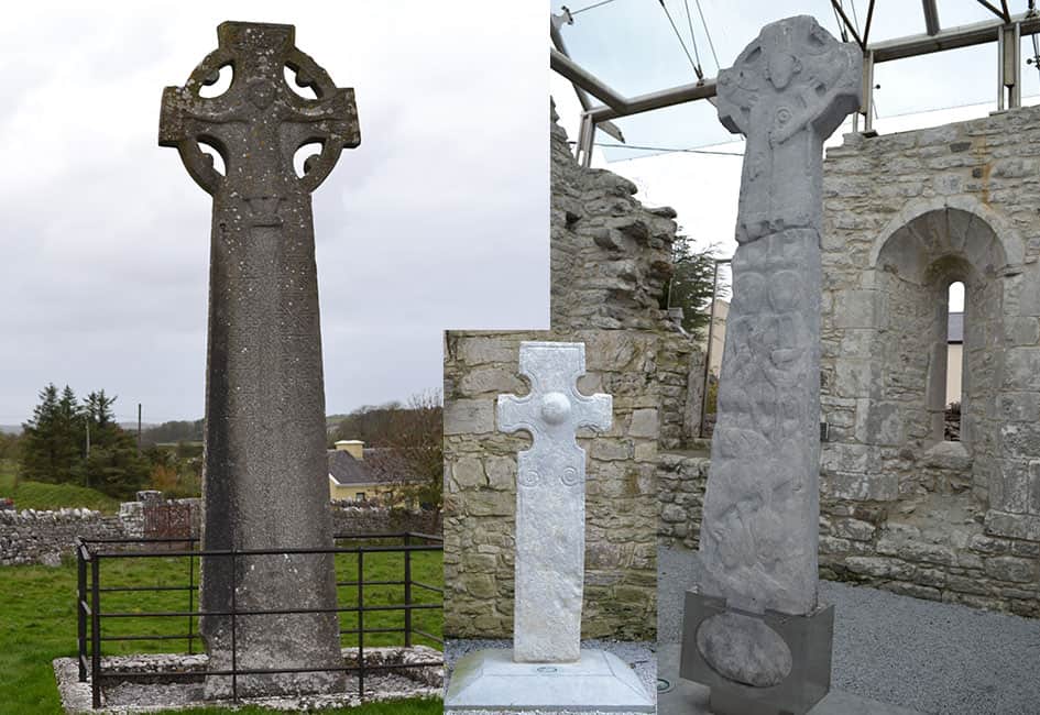 Celtic High CrossHeritage attraction · 2.7 mi
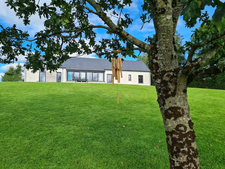 Knocknabrass WoodWood · 3.1 mi
 Battle of Newtownbutlerbattle · 3.2 mi
 Turf HouseHeritage attraction · 3.2 mi