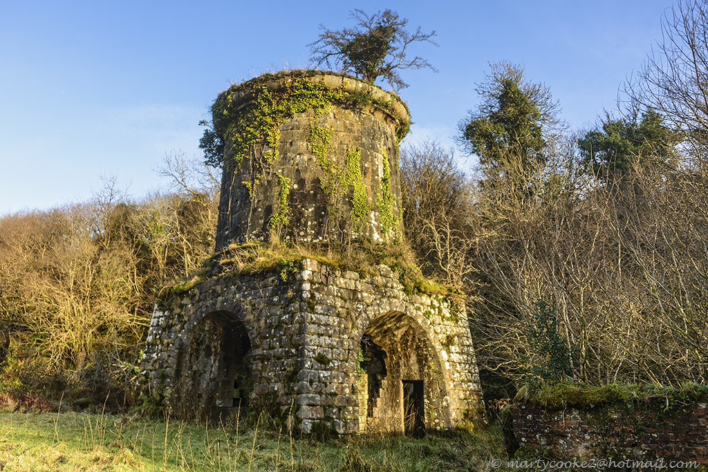
What is recorded here
Indicated is a fairy fort on a steep slope in County Leitrim, where a thirty-metre earthen bank still curves through scrub despite centuries of neglect. It appeared on maps as early as 1835, yet remains half-swallowed by vegetation and distance from human roads. The fort may have marked territory, sheltered people or simply resisted forgetting. Its survival is not praise but proof that edge places keep their shape when left alone.
Situated towards the top of a steep E-facing slope that leads to a col between higher summits to the NW and S. This monument is depicted as an irregularly shaped, scrub-covered enclosure on the 1835 edition of the OS 6-inch map and as an oval enclosure on the 1945 edition. An arc (Chord 30m N-S) of an overgrown earthen bank (at W: Wth of base 2.5m; int. H 1.2m; ext. H 1.35m) with traces of an external fosse survives at W.
The above description is derived from 'The Archaeological Inventory of County Leitrim' compiled by Michael J. Moore (Dublin: Stationery Office, 2003). In certain instances the entries have been revised and updated in the light of recent research.
Compiled by: Michael Moore
Date of upload: 23 September 2008
Amended: 6 December 2019
The monument record does not grant public access. Check the route and ask the landowner before entering private land.
- What survives
- Recorded monument
Places near here
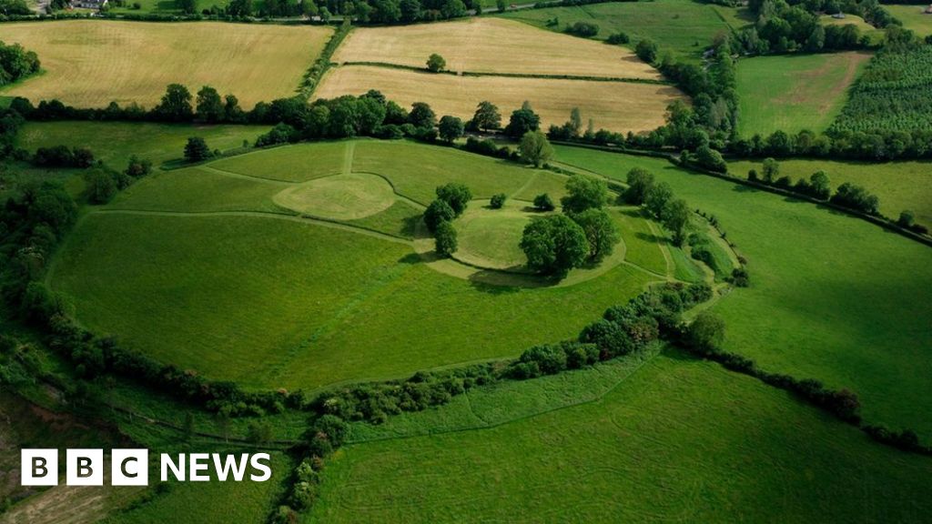 Sheean FortFairy fort / earthen ringfort · 1508 yd
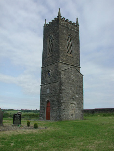 Saint James's Church (Cloone)church/chapel · 1.3 mi
 St Jamess ChChurch · 1.3 mi
 CrossCross, High cross · 1.3 mi
 Sessile OakSessile Oak · 1.4 mi
 Giant's GraveArchaeological place · 2.4 mi
 Turlough O'Carolan MonumentHeritage attraction · 2.7 mi
 Little IslandIslet · 3.7 mi
 Duck IslandIslet · 3.7 mi
 Lawson's CypressLawson's Cypress · 4.1 mi
 CastleCastle, tower house · 4.3 mi
 North Midland Transport CollectionMuseum · 5.5 mi
Other information
Photo: Credit not shown in the picture search · Rights wording not checked; contact us if this picture should be removed