What is recorded here
Fairy forts are not evidence of hidden worlds; they are abandoned human settlements misread through folklore. In Drumberagh the earthworks mark an ordinary place people once shaped and later left behind. The real wonder is that human life can disappear so completely it becomes magic.
Located at the SE end of a short NW-SE drumlin ridge. This monument is depicted on McCrea’s map of County Monaghan (1793) and on subsequent OS 6-inch maps. It is an oval grass-covered area (dims 36.6m N-S; 28.6m E-W) that slopes down slightly to the S (H 1.3m). It is defined by an earthen bank (Wth 6-7m; int. H 1.2m; ext. H 2.8-3m) with some bushes separated by a flat-bottomed fosse (Wth of top 7.2-8m; Wth of base 1-2m; ext. D 1.4-1.6m) from an outer bank (Wth 4.5-5m; ext. H 0.8-1m). There is an entrance through the inner (Wth of base 2.8m) and outer (Wth of base 1.8m) banks with a causeway (Wth of top 3.5m; H 0.8m) at SSE. Field banks approach the monument from NE, SE, SW and NW, and cross the fosse to the inner bank, while an outer field bank is reduced to a scarp (H 1m) outside the outer bank NW-NE (max. ext. dim. 56m N-S).
The above description is derived from the published 'Archaeological Inventory of County Monaghan' (Dublin: Stationery Office, 1986). In certain instances the entries have been revised and updated in the light of recent research.
Date of upload: 6 December 2017
The monument record does not grant public access. Check the route and ask the landowner before entering private land.
- What survives
- Recorded monument
Places near here
 Man-made underground passage in Bocks UpperMan-made underground passage · 601 yd
 Fairy fort / earthen ringfort in AghacloghanFairy fort / earthen ringfort · 755 yd
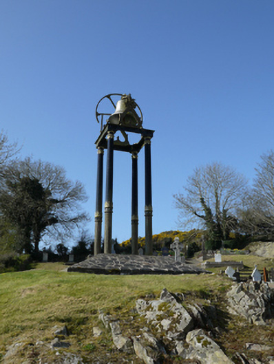 Saint Mary's Catholic Churchbell tower/stand · 1309 yd
 The Old Post Officeworker's house · 1.1 mi
 TobernagalliaghSpring · 1.9 mi
 Gully IslandIslet · 2.2 mi
 Rock IslandIslet · 2.4 mi
 Tally WoodWood · 2.6 mi
 Fincarn HillMountain / peak · 3.1 mi
 Mannan Castle (in ruins)Castle, Anglo-Norman masonry castle · 3.3 mi
 Horse-chestnutHorse-chestnut · 3.8 mi
 KnockreaghMountain / peak · 4.4 mi