What is recorded here
Drumbad still holds the buried line of a Rath, though no wall stands proud enough for a stranger to point and name. The ground there has already swallowed the shape of the place, leaving only a hidden ridge beneath grass and rain. What was built, hidden or abandoned in that spot has stopped answering questions, which is often the greatest answer a dead place can give.
The official Northern Ireland record identifies this as RATH. Recorded period: E.CHRIST.. The official map point was placed at the centre of the recorded archaeological site from the source map reference.
The monument record does not grant public access. Check the route and ask the landowner before entering private land.
- What survives
- Recorded monument
Places near here
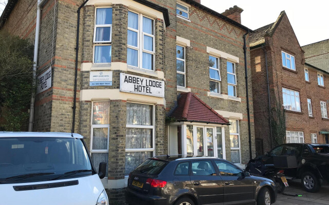 ENCLOSURE , possibly Rath, ABBEY (site of) & LIME KILN: ABBEY LODGE, LISDRUM in LisdrumENCLOSURE , possibly Rath, ABBEY (site of) & LIME KILN: ABBEY LODGE, LISDRUM · 1040 yd
 ENCLOSURE in CoolcrannelENCLOSURE · 1709 yd
 Christ ChurchChurch · 1.1 mi
 Carrowhony Pet FarmHeritage attraction · 1.4 mi
 Presbyterian ChurchChurch · 2.0 mi
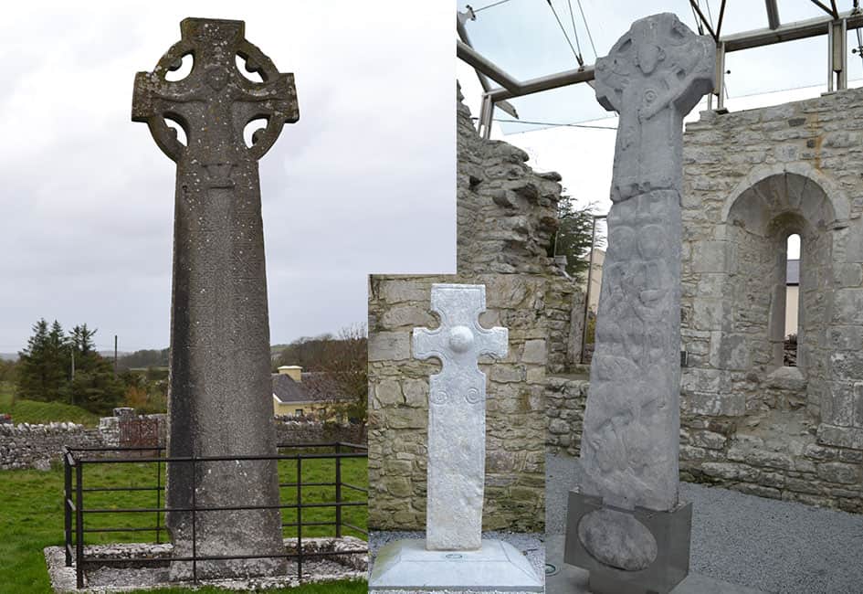 Celtic High CrossHeritage attraction · 2.1 mi
 CASTLE: CASTLE BALFOUR in Castle Balfour DemesneCASTLE: CASTLE BALFOUR · 2.3 mi
 Castle BalfourCastle · 2.3 mi
 Leitrim WoodWood · 3.5 mi
 Toners WoodWood · 3.7 mi
 Bunnahola IslandIsland · 3.9 mi
 Rabbit IslandIsland · 4.3 mi