
What is recorded here
Located in the centre of the subrectangular E part (dims c. 375m NE-SW; c. 325m NW-SE) of Freagh Lough, which has a rectangular extension (dims c. 200m NW-SE; c. 125m NE-SW) extending NW from the S end of the NW side. This lake has not been diminished by drainage. A cairn (diam. c. 15m) which supported three stunted trees was detected c. 1m below water level. It sometimes breaches the surface and can be seen on the digitalglobe images.
The above description is derived from the published 'Archaeological Inventory of County Monaghan' (Dublin: Stationery Office, 1986). In certain instances the entries have been revised and updated in the light of recent research.
Revised by: Michael Moore
Date of revision: 8 May 2018
The monument record does not grant public access. Check the route and ask the landowner before entering private land.
- What survives
- Recorded monument
Places near here
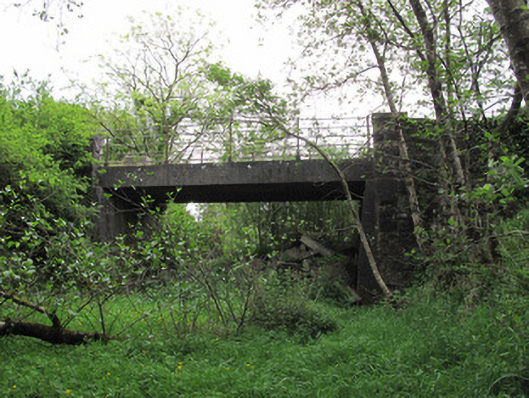 bridgebridge · 296 yd
 IndicatedFairy fort / earthen ringfort · 932 yd
 Aghabog Churchchurch/chapel · 1114 yd
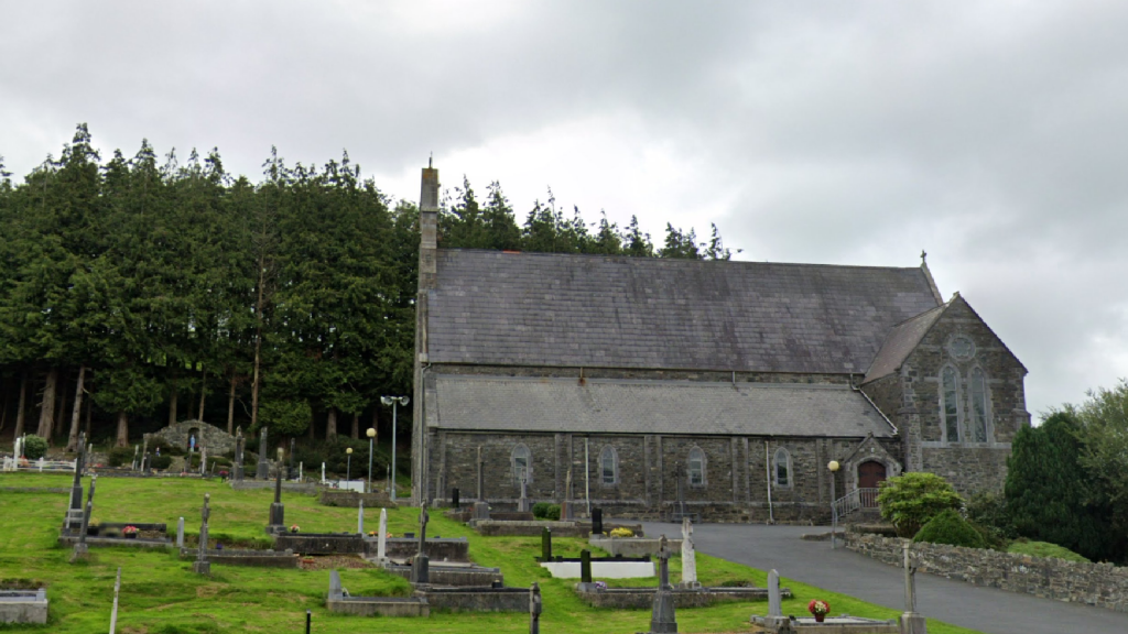 Corduff fortFairy fort / earthen ringfort · 1210 yd
 Tomb HillMountain / peak · 1.3 mi
 Lisarrilly HillMountain / peak · 2.5 mi
 Roosky Castle (Site of)Castle, ringwork · 2.7 mi
 Rabbitburrow WoodWood · 3.6 mi
 Common LimeCommon Lime · 3.6 mi
 Saint John's WellSpring · 3.9 mi
 Jaundice WellSpring · 4.5 mi
 Dagda's CauldronHeritage attraction · 6.1 mi
Other information
Photo: Credit not shown in the picture search · Rights wording not checked; contact us if this picture should be removed