What is recorded here
In 1983, a team including Brian Lacey and Eamon Cody walked the steep south slope above the River Swilly, searching for a stone that vanished before the first survey map. They found good land and empty air, proving the statue had already surrendered to time or human hands. The valley keeps its own secrets, withholding what it wishes to protect.
There is no trace of the 'Standing Stone' marked on the 1st edition of the OS 6-inch map. Situated in good land on a steep slope on the S side of the valley of the River Swilly.
The above description was derived from the 'Archaeological Survey of County Donegal. A description of the field antiquities of the County from the Mesolithic Period to the 17th century.' Compiled by: Brian Lacey with Eamon Cody, Claire Cotter, Judy Cuppage, Noel Dunne, Vincent Hurley, Celie O'Rahilly, Paul Walsh and Seán Ó Nualláin (Lifford: Donegal County Council, 1983). In certain instances the entries have been revised and updated.
Date of upload: 22 September 2008
This remains an important historical record, but the official description says the monument is no longer visible or has been destroyed. The monument record does not grant public access. Check the route and ask the landowner before entering private land.
- What survives
- No visible remains or recorded as destroyed
Places near here
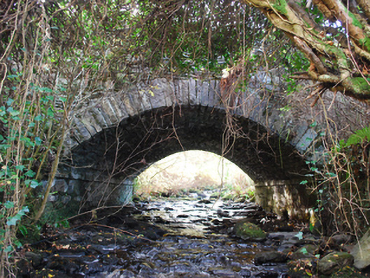 bridgebridge · 288 yd
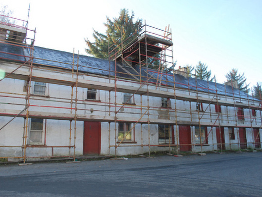 house, shop/retail outlet, store/warehousehouse, shop/retail outlet, store/warehouse · 406 yd
 Newmills Corn and Flax MillsHeritage attraction · 432 yd
 Site of Castle SollusCastle, unclassified · 1154 yd
 Battle of Scarrifholisbattle · 1166 yd
 Doon Glebe Stone Ringfort and Mural PassageFairy fort / stone ringfort · 1.0 mi
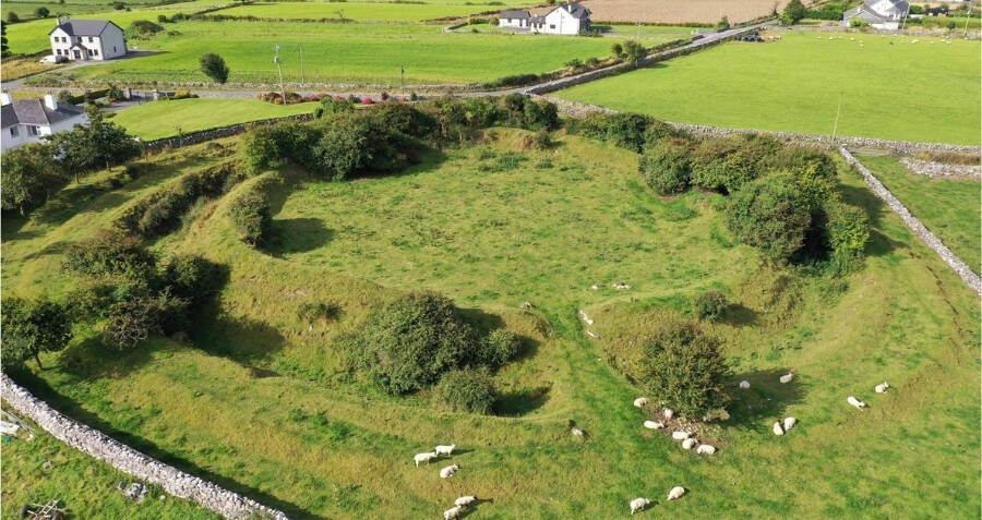 Rareagh Streamside Stone RingfortFairy fort / stone ringfort · 1.3 mi
 Gregory HillMountain / peak · 2.1 mi
 Stackarnagh Abbey GraveyardGraveyard · 3.3 mi
 Bawn in LetterkennyBawn · 3.3 mi
 Donegal County MuseumMuseum · 3.6 mi
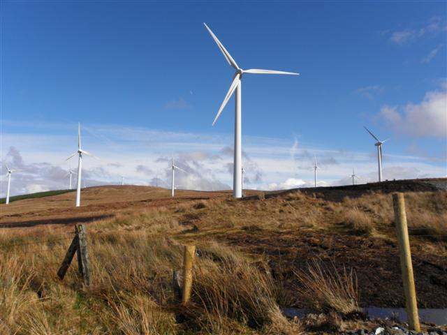 Three TopsMountain / peak · 5.4 mi