What is recorded here
This monument is situated on the border between Northern Ireland and the Republic of Ireland. The name ‘Fort’ (in antiquarian typeface) is printed without any associated outline of a feature on the OS 1st ed. 6-inch sheet for Co. Armagh in the townland of Edenappa. Neither the name nor any feature was not recorded on the corresponding sheet to the west in Co. Louth. The remains are visible on aerial photos as a ploughed-out enclosure on the Armagh side of the border and as semi-circular area of scrub on the Louth side (estimate diam. c. 42m).
Compiled by: Paul Walsh
Date of upload: 19 February 2018
The monument record does not grant public access. Check the route and ask the landowner before entering private land.
- What survives
- Recorded monument
Places near here
 Church of Ireland ChurchChurch · 538 yd
 1978 British Army Gazelle downingaviation accident · 701 yd
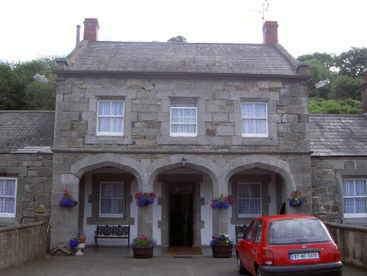 Ravensdale Housestables · 1257 yd
 Faughill MountainMountain / peak · 1474 yd
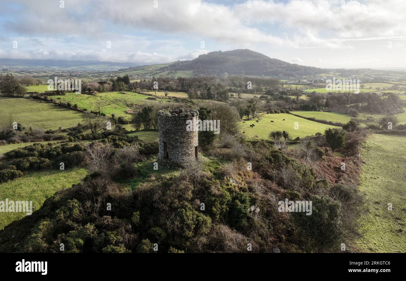 ENCLOSURE in Foughill OtraENCLOSURE · 1.1 mi
 Ravensdale LoopWalking route · 1.2 mi
 Ravensdale ForestForest · 1.2 mi
 Ring of Gullion WayWalking route · 1.2 mi
 Feede MountainMountain / peak · 1.4 mi
 Kilnasggart inscribed stoneArchaeological place · 1.5 mi
 KILNASAGGART INSCRIBED PILLAR STONE & CEMETERY with 6 CROSS-CARVED STONES: CELL NA SACART in EdenappaKILNASAGGART INSCRIBED PILLAR STONE & CEMETERY with 6 CROSS-CARVED STONES: CELL NA SACART · 1.5 mi
 CASTLE & BAWN: MOYRY or MOIRY CASTLE in CarrickbroadCASTLE & BAWN: MOYRY or MOIRY CASTLE · 1.7 mi