What is recorded here
An area of burnt, shattered stones was exposed when this field, on the S side of the Caragh river, was deep ploughed in 1989. Located c. 250m NE of KE082-006----, it appears to have been a fulacht fiadh.
The above description is derived from A. O'Sullivan and J. Sheehan (compilers), 'The Iveragh peninsula: an archaeological survey of South Kerry'. Cork University Press (1996), no. 428. In certain instances the entries have been revised and updated in the light of recent research.
Date of upload: 30 July 2013
The monument record does not grant public access. Check the route and ask the landowner before entering private land.
- What survives
- Recorded monument
Places near here
 Burnt spread in DromteewakeenBurnt spread · 193 yd
 Beann DheargMountain / peak · 1281 yd
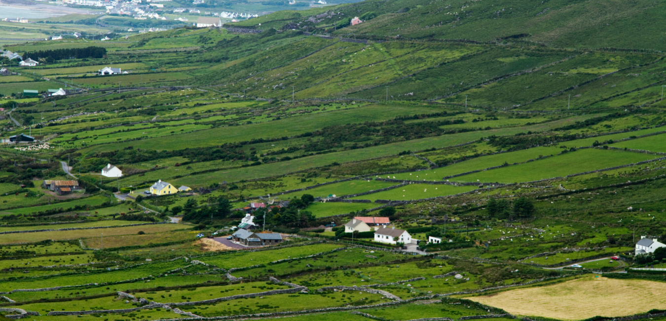 Beann BhánMountain / peak · 1.3 mi
 Ballaghbeama GapViewpoint · 1.8 mi
 Hut site in Derrynafeana (dunkerron North By., Knockane Par.)Hut site · 2.0 mi
 CarrauntoohilMountain / peak · 3.3 mi
 Devil's Ladder RouteWalking route · 4.5 mi
 Blackstones Bridgebridge · 4.8 mi
 Crash site of USAAF DakotaHeritage attraction · 5.0 mi
 Penitential station in TreanmanaghPenitential station · 6.4 mi
 Castle Core (in Ruins)Castle, tower house · 8.6 mi
 Lough Nambrackdarrig Nature ReserveNature reserve · 9.0 mi
Other information
Photo: Credit not shown in the picture search · Rights wording not checked; contact us if this picture should be removed