What is recorded here
Situated on a broad plateau. This is a circular area (diam. c. 40m) visible as a cropmark on aerial photographs (MM (60) 22-7; (76) 31-4). An enclosure site (WA018-077---) is c. 50m to E.
The above description is derived from the published 'Archaeological Inventory of County Waterford' (Dublin: Stationery Office, 1999). In certain instances the entries have been revised and updated in the light of recent research.
Date of upload/revision: 23 December 2008
The monument record does not grant public access. Check the route and ask the landowner before entering private land.
- What survives
- Recorded monument
Places near here
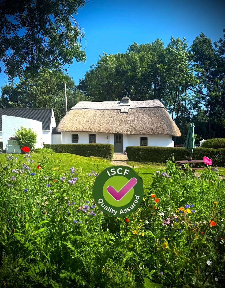 Enclosure in DrominaEnclosure · 144 yd
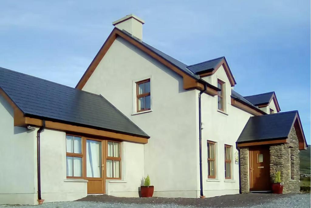 Enclosure in BallydavidEnclosure · 740 yd
 Ballydavid Househouse · 765 yd
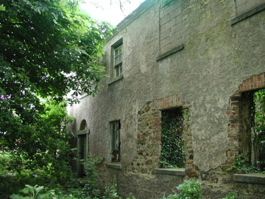 Geneva Barracksbarracks · 1543 yd
 Raheen StrandBeach / strand · 1647 yd
 Dromina StrandBeach / strand · 1.2 mi
 Newtown HeadHeadland · 1.2 mi
 The Black Woman's RoadWalking route · 1.7 mi
 Ivory MemorialMemorial · 1.9 mi
 Knockavelish HeadHeadland · 2.2 mi
 Castle (in ruins)Castle, tower house · 2.5 mi
 Bishop's Palace MuseumMuseum · 5.6 mi