What is recorded here
Indicated is a circular earthen fort forty-one metres wide, overlooking the Dripsey River valley in County Cork. Its stone-faced bank rises one and a half metres, with recessed steps cutting through the northeast section like a forgotten entrance. Coniferous trees once crowded the interior, but they have vanished, leaving only grass and the quiet suggestion that people lived, argued, loved and disappeared inside the ring.
In pasture, overlooking Dripsey River valley to S. Circular area (diam. 41m) defined by earthen bank (H 1.5m). Bank stone-faced externally with recessed steps in NE section. Interior once planted with coniferous trees (1938 OS 6-inch map); now grass-covered.
The above description is derived from the published 'Archaeological Inventory of County Cork. Volume 3: Mid Cork' (Dublin: Stationery Office, 1997). In certain instances the entries have been revised and updated in the light of recent research.
Date of upload/revision: 14 January 2009
The monument record does not grant public access. Check the route and ask the landowner before entering private land.
- What survives
- Recorded monument
Places near here
 Sundays WellHoly well · 913 yd
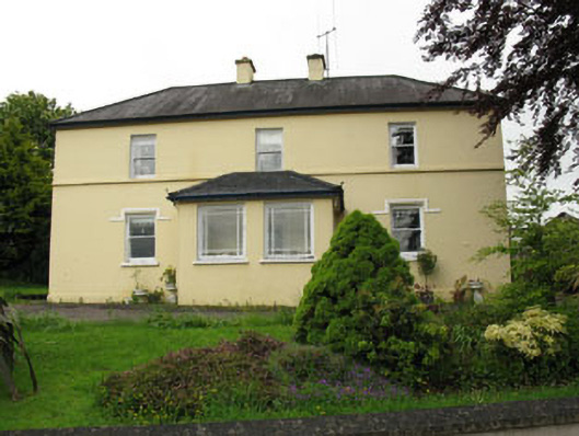 Greenhall Acresfarm house · 957 yd
 Anomalous stone group in AgharinaghAnomalous stone group · 1275 yd
 Dripsey Bridgebridge · 1.1 mi
 Carrignamuck Tower HouseCastle · 1.5 mi
 Bob AdamsMemorial · 1.8 mi
 Coachford Greenway (End)Visitor information · 1.9 mi
 Ballyanly Inniscarra Slí na SláinteWalking route · 2.1 mi
 Farran WoodWood · 2.3 mi
 Castle Inch (in Ruins)Castle, tower house · 2.4 mi
 Oldcastle WoodWood · 3.0 mi
 Iniscarra Dam ViewViewpoint · 3.0 mi