What is recorded here
Just off the crest of a broad W-E ridge or spur on the S side. Circular grass-covered mound (diam. of top 6.7m E-W; 6.3m N-S; H 0.2m at E to 0.6m at S) defined by a fosse (Wth of top 3.8m at E to 6.8m at S; Wth of base 2m; D 0.4m at S to 0.9m at N) and an outer bank (Wth 3-4m; H 0.2-0.6m). There is no visible entrance, but the bank at E has been straightened (L 20m) (max. ext. dims 23m N-S; 21m E-W).
Compiled by: Michael Moore
Date of upload: 24 August 2010
Embanked enclosure; date uncertain but likely prehistoric. Its significance lies in its rare preservation of a circular mound and fosse, offering insights into early territorial or ritual landscape features.
The monument record does not grant public access. Check the route and ask the landowner before entering private land.
- What survives
- Recorded monument
Places near here
 Embanked enclosureFairy fort / ringfort · 596 yd
 European ashEuropean ash · 961 yd
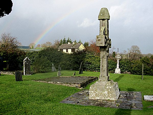 CrossCross, High cross · 963 yd
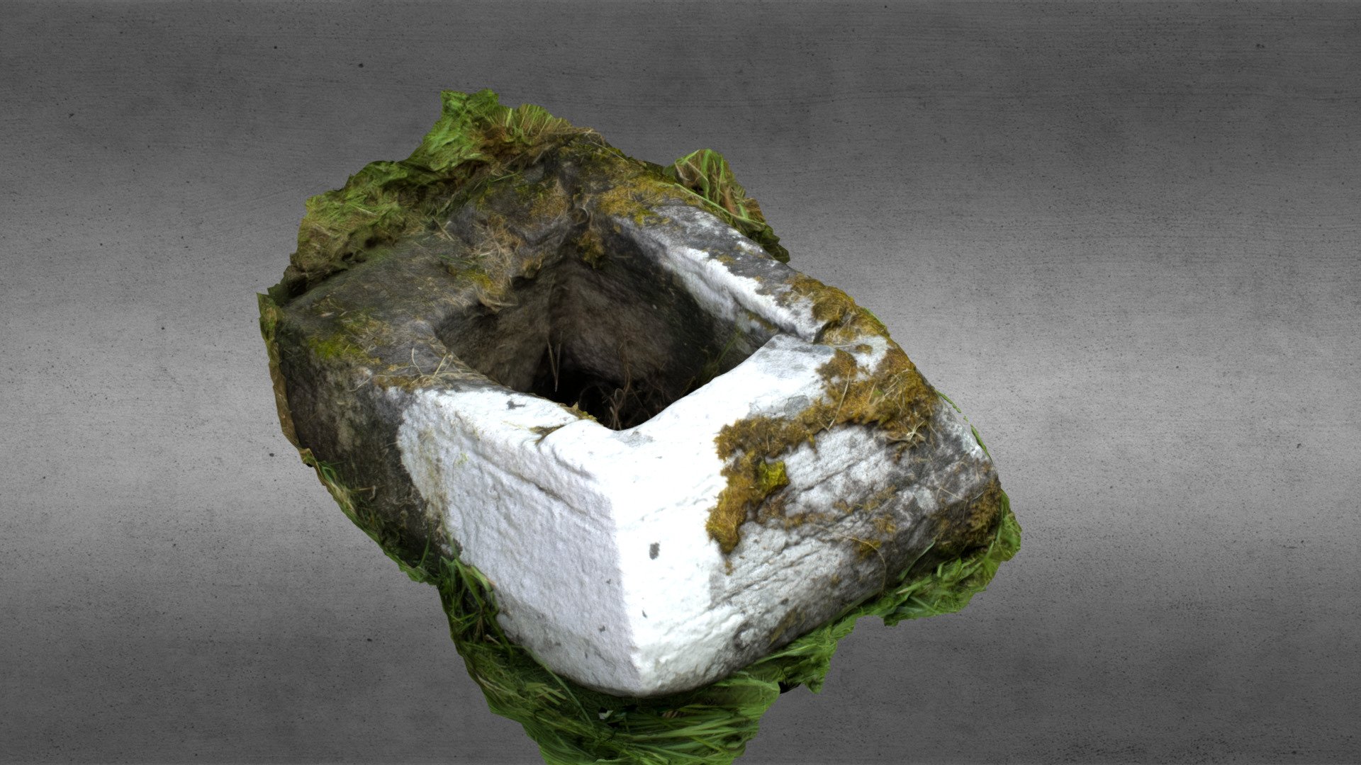 Church in OgullaChurch · 974 yd
 ToberagullaSpring · 977 yd
 RoadRoad, road/trackway · 1335 yd
 CastleCastle, unclassified · 1.0 mi
 Cruachan Aí Heritage CentreMuseum · 1.1 mi
 CastlerubyCastle, unclassified · 1.9 mi
 War of Independence Commemorative Military MemorialMemorial · 4.4 mi
 Sweet ChestnutSweet Chestnut · 7.2 mi
 Silver IslandIslet · 7.8 mi