What is recorded here
No visible hull, no clear event, no unique identity. The sea keeps what it wants and deletes the rest.
The official Northern Ireland wreck record identifies Recorded wreck SWR356 as Wooden wreck. It was lost in Unknown. Recorded depth: 0m. Recorded condition: Wreck-shaped anomaly in ITZ.
A wreck point does not grant access or permission to dive, enter land, disturb the site or recover anything. Check current law and local conditions first.
Places near here
 Curlew PointHeadland · 116 yd
 Water Safety Information - Rope Walk KilloughVisitor information · 709 yd
 St. Anne's Parish ChurchChurch · 737 yd
 Killough ClinicHealth Centre · 780 yd
 Water Safety Information - Killough HarbourVisitor information · 945 yd
 MODERN CHURCH ON EARLIER SITE in ArdglassMODERN CHURCH ON EARLIER SITE · 1.1 mi
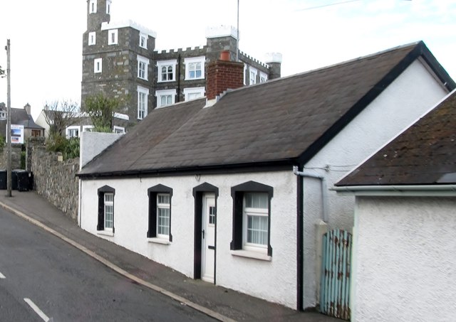 TOWER-HOUSE: KING'S CASTLE in ArdglassTOWER-HOUSE: KING'S CASTLE · 1.1 mi
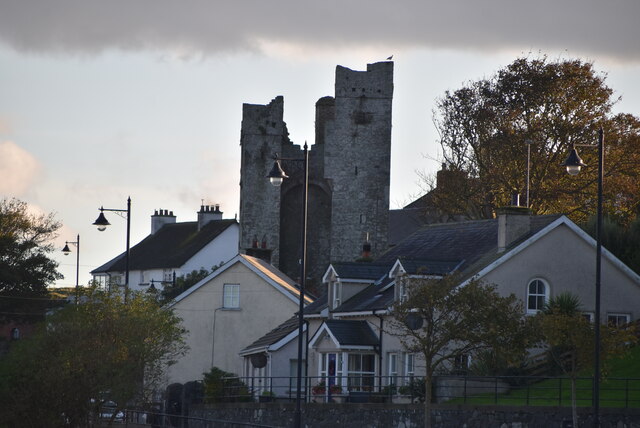 TOWER-HOUSE: JORDAN'S CASTLE in ArdglassTOWER-HOUSE: JORDAN'S CASTLE · 1.3 mi
 AP Cropmark- Possible enclosure or rath in BallyligAP Cropmark- Possible enclosure or rath · 1.4 mi
 Ardtole ChurchWalking route · 1.6 mi
 CHURCH (in ruins) & GRAVEYARD: ARDTOLE CHURCH; ST.NICHOLAS' in ArdtoleCHURCH (in ruins) & GRAVEYARD: ARDTOLE CHURCH; ST.NICHOLAS' · 1.7 mi
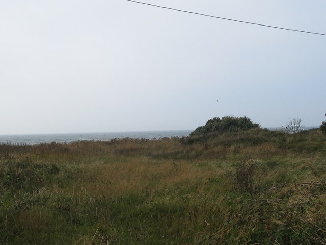 Rossglass BeachBeach / strand · 2.2 mi