What is recorded here
Yes. An unknown wreck lies 102m deep off County Down, intact on its side, a shadow 100m long and 12m high. It may have been a great ship, a military vessel or a merchant trader, but no name has survived to identify it. What is left is shape, depth and silence: a large drowned body waiting for recognition.
The official Northern Ireland wreck record identifies Recorded wreck SWR233 as Unknown wreck. It was lost in Unknown. Recorded depth: 102m. Recorded condition: Intact and on its side. Anomaly = 100m long X 12m high.
A wreck point does not grant access or permission to dive, enter land, disturb the site or recover anything. Check current law and local conditions first.
Places near here
 Kearney Coastal Walk, KearneyWalking route · 14 mi
 Enclosure in BallyspurgeEnclosure · 14 mi
 FORTIFIED HOUSE & BAWN: THE WHITE HOUSE in BallyspurgeFORTIFIED HOUSE & BAWN: THE WHITE HOUSE · 14 mi
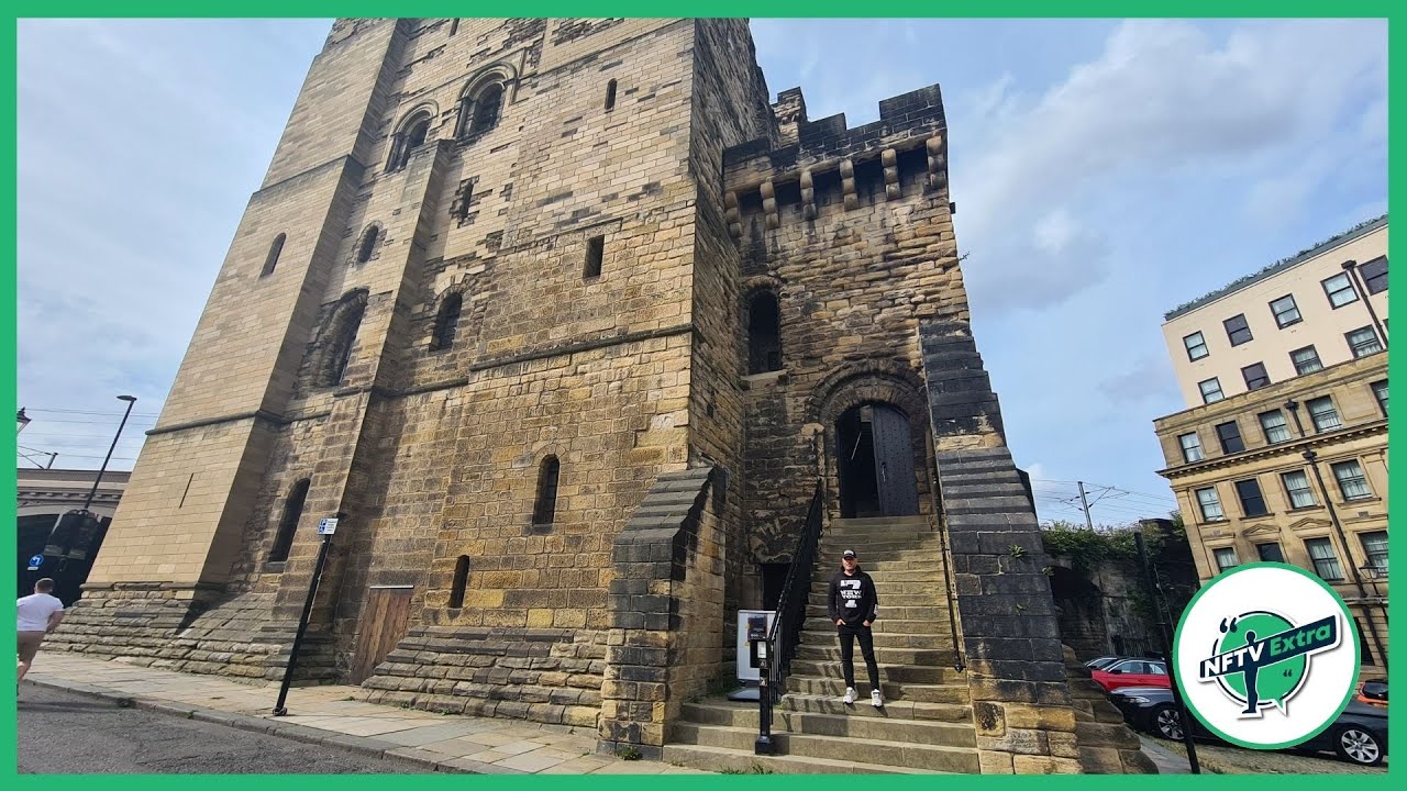 CASTLE in NewcastleCASTLE · 14 mi
 Burial IslandIslet · 14 mi
 Burr PointHeadland · 15 mi
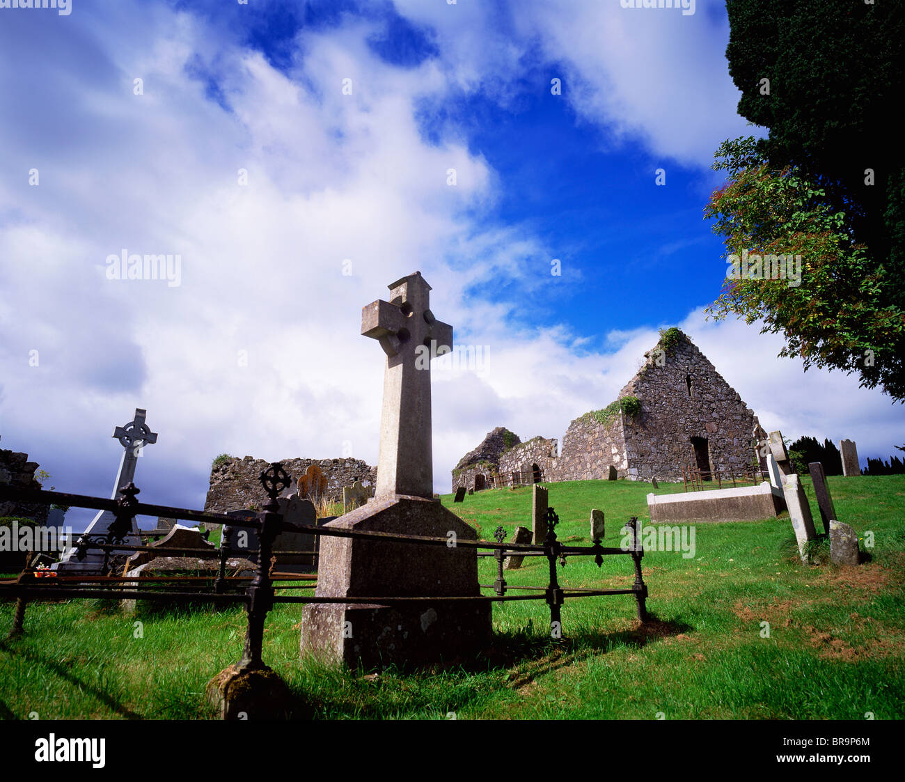 A.P SITEA.P SITE, Enclosures/Possibly ring ditches · 15 mi
 Quintin CastleCountry House · 15 mi
 TOWER-HOUSE: CASTLEBOY in CastleboyTOWER-HOUSE: CASTLEBOY · 15 mi
 Windmill HillMountain / peak · 16 mi
 Ballyquintin Point Nature ReserveNature reserve · 16 mi
 MEDIEVAL CHURCH & GRAVEYARD: BALLYTRUSTAN; THRUSTAYNISTONE in BallytrustanMEDIEVAL CHURCH & GRAVEYARD: BALLYTRUSTAN; THRUSTAYNISTONE · 16 mi