What is recorded here
Bangor is a steamship wreck in County Down, Ireland, lost in 1934 and now resting thirty metres below the surface. Its stones have scattered into a low reef behind the engine, turning a proud cargo hold into a jagged trap for unsuspecting boats. The sea did not kill the journey; it redirected the memory, forcing every mapper and diver to reinvent the shape of the loss.
The official Northern Ireland wreck record identifies Bangor as Steamship. It was lost in 1934. Recorded depth: 30m. Recorded condition: 5m high. Blocks of stone in hold,distintegrated into low reef aft of engine.
The *Bangor* was a steamship lost in 1934 off Northern Ireland, likely due to its deteriorated condition and structural collapse into a low reef. It carried stone blocks in its hold, suggesting a role in coastal or harbor construction projects.
A wreck point does not grant access or permission to dive, enter land, disturb the site or recover anything. Check current law and local conditions first.
Places near here
 Ballyquintin Point Nature ReserveNature reserve · 2.4 mi
 Millin Bay CairnArchaeological place · 3.4 mi
 PLATFORM RATH in BallyfounderPLATFORM RATH · 3.7 mi
 Quintin CastleCountry House · 3.8 mi
 Mullog PointHeadland · 3.8 mi
 Kilclief BeachBeach / strand · 4.0 mi
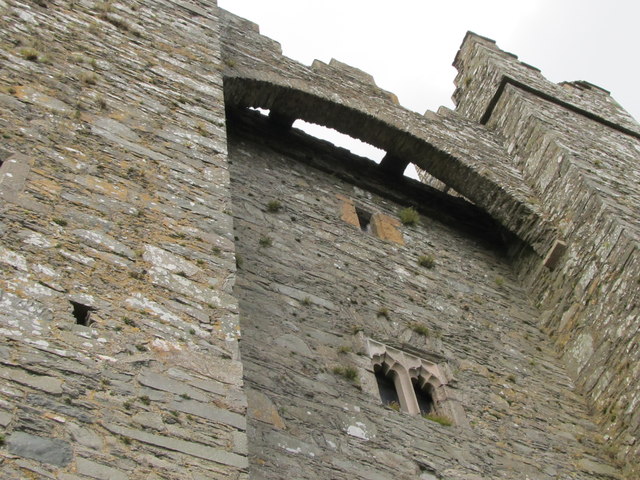 TOWER-HOUSE & C13th COFFIN LID: KILCLIEF CASTLE in KilcliefTOWER-HOUSE & C13th COFFIN LID: KILCLIEF CASTLE · 4.1 mi
 Kilclief CastleCastle · 4.1 mi
 Parish ChurchChurch · 4.2 mi
 Kearney Coastal Walk, KearneyWalking route · 4.2 mi
 MEDIEVAL CHURCH & GRAVEYARD: BALLYTRUSTAN; THRUSTAYNISTONE in BallytrustanMEDIEVAL CHURCH & GRAVEYARD: BALLYTRUSTAN; THRUSTAYNISTONE · 4.2 mi
 Strangford Holiday Park Picnic AreaPicnic place · 4.3 mi