
What is recorded here
Wood Island Light stood as Maine’s southernmost navigational beacon from 1808 until 1829, guiding heavy merchant traffic through the busy waters near Saco and Biddeford. The original wooden tower gave way to a sturdy granite structure in 1839, anchoring the island’s maritime identity for generations. Today the Audubon Society protects the island’s breeding birds while volunteers preserve the keeper’s home and tower for visitors who still climb its sixty stairs.
Wood Island is recorded as a islet in County Down. Its open map record supplies this location and any linked names or public references.
Places near here
 Post-Medieval church & graveyard in TullynakillPost-Medieval church & graveyard · 1193 yd
 TOWER-HOUSE AND BAWN: MAHEE ISLAND in Mahee IslandTOWER-HOUSE AND BAWN: MAHEE ISLAND · 1345 yd
 Mahee CastleCastle · 1346 yd
 The Round TowerVisitor information · 1480 yd
 NENDRUM MONASTIC SITE in Mahee IslandNENDRUM MONASTIC SITE · 1496 yd
 Island Reagh, Strangford LoughWalking route · 1586 yd
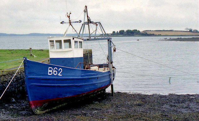 STONE QUAY in RingneillSTONE QUAY · 1.0 mi
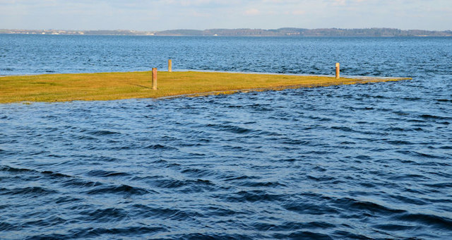 Ringneill QuayBay · 1.0 mi
 Reagh IslandIsland · 1.1 mi
 Cross IslandIslet · 1.2 mi
 STONE PIER in Castle EspieSTONE PIER · 2.2 mi
 Castle Espie Wetland CentreNature reserve · 2.2 mi
Other information
Photo: Aaron · CC BY-SA 2.0