What is recorded here
South Island is the larger of New Zealand's two main islands, spanning 150,437 square kilometres and holding 24% of the nation's people. The Southern Alps carve its spine, with Aoraki / Mount Cook rising to 3,724 metres above the Canterbury Plains and the rough West Coast. Kāi Tahu, Kāti Māmoe and Waitaha shaped Te Waipounamu before British settlers arrived, while Dunedin later boomed during the Otago gold rush.
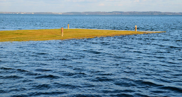
South Island is recorded as a islet in County Down. Its open map record supplies this location and any linked names or public references.
Places near here
 Mid IslandIslet · 574 yd
 MEDIEVAL CHURCH; poss. PRE-NORMAN MONASTIC SITE; EARLY CHRISTIAN HARBOUR and FISH TRAPS in Chapel IslandMEDIEVAL CHURCH; poss. PRE-NORMAN MONASTIC SITE; EARLY CHRISTIAN HARBOUR and FISH TRAPS · 1394 yd
 Greyabbey Primary SchoolSchool · 1.0 mi
 Trinity Presbyterian ChurchChurch · 1.1 mi
 Grey Abbey HouseCastle · 1.2 mi
 GREY ABBEY: CISTERCIAN ABBEY in RosemountGREY ABBEY: CISTERCIAN ABBEY · 1.3 mi
 Red Trail, Mount StewartWalking route · 1.6 mi
 Mount StewartHeritage attraction · 2.0 mi
 Lake Walk, Mount StewartWalking route · 2.1 mi
 Cross IslandIslet · 2.6 mi
 PLANTATION HOUSE & BAWN in InishargyPLANTATION HOUSE & BAWN · 2.7 mi
 Ringneill QuayBay · 2.8 mi