What is recorded here
Darragh Island is an islet in County Down, Ireland. Perhaps the sea claims it back during every high tide, leaving only a wet shadow where land should be. Maybe the island breathes with the moon, rising at night and sinking before dawn. Imagine standing on its edge at midnight, feeling the ground tilt like a living thing adjusting itself beneath your feet.
Darragh Island is recorded as a islet in County Down. Its open map record supplies this location and any linked names or public references.
Darragh Island is a small islet located in Strangford Lough, County Down, Northern Ireland. It is notable for its historical association with early monastic settlements and its inclusion in local maritime and archaeological studies of the region.
Places near here
 Conly IslandIslet · 994 yd
 TOWER-HOUSE: RINGHADDY CASTLE in RinghaddyTOWER-HOUSE: RINGHADDY CASTLE · 1495 yd
 STONE QUAY in BallymorranSTONE QUAY · 1.1 mi
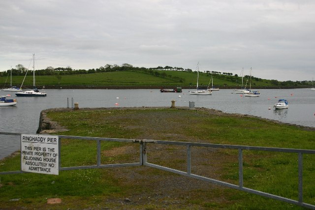 STONE QUAY in RinghaddySTONE QUAY · 1.1 mi
 CHURCH (in ruins) in RathgormanCHURCH (in ruins) · 1.3 mi
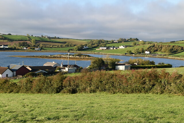 Hen IslandIslet · 1.6 mi
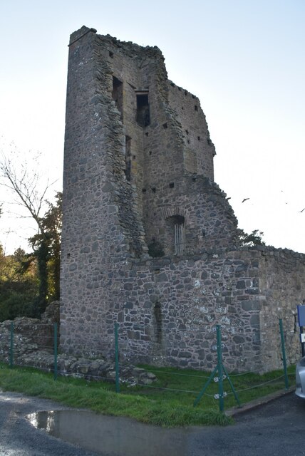 Sketrick Castle (ruin)Castle · 1.6 mi
 The Round TowerVisitor information · 2.3 mi
 Island Reagh, Strangford LoughWalking route · 2.7 mi
 Long PointHeadland · 2.7 mi
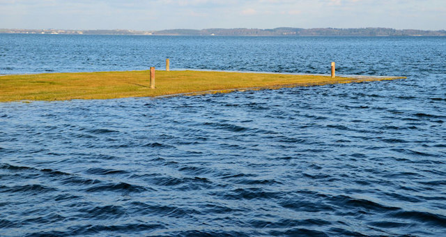 Ringneill QuayBay · 3.3 mi
 Post-Medieval church & graveyard in TullynakillPost-Medieval church & graveyard · 3.5 mi