What is recorded here
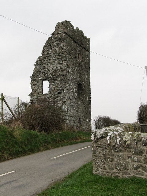
Bright Castle stands as a broken tower south of Downpatrick, its western half erased and its eastern wall barely six metres long. Built probably in the late fifteenth century from split-stone rubble, it kept double-splayed loops for light and defence before decay took most of its shape. The ruin now borders a golf club, visible only from a narrow road, inviting wonder about the people who lived inside walls that no longer hold together.
Castle Bright is recorded as a castle in County Down. Its open map record supplies this location and any linked names or public references.
Built by the MacDonnell clan in the 16th century, Castle Bright is remembered as a significant stronghold in the historical landscape of County Down, reflecting the Gaelic presence in the region during the late medieval period.
Places near here
_Parish_Church_-_geograph.org.uk_-_2786000.jpg?width=1280) Parish ChurchChurch · 152 yd
Parish ChurchChurch · 152 yd MULTIPERIOD CHURCH SITE & GRAVEYARD with STONE-LINED GRAVES & HOLY WELL: BRETTAN in BrightMULTIPERIOD CHURCH SITE & GRAVEYARD with STONE-LINED GRAVES & HOLY WELL: BRETTAN · 166 yd
 CHURCH (site of) in CarrowdressexCHURCH (site of) · 944 yd
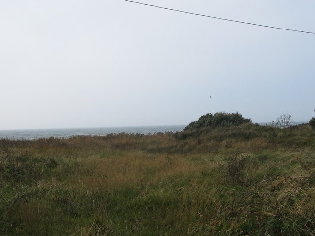 Rossglass BeachBeach / strand · 1.4 mi
 MEDIEVAL CHURCH: ROSSGLASS (unlocated) in RossglassMEDIEVAL CHURCH: ROSSGLASS (unlocated) · 1.8 mi
 Water Safety Information - Rope Walk KilloughVisitor information · 2.1 mi
 Curlew PointHeadland · 2.2 mi
 Water Safety Information - Killough HarbourVisitor information · 2.4 mi
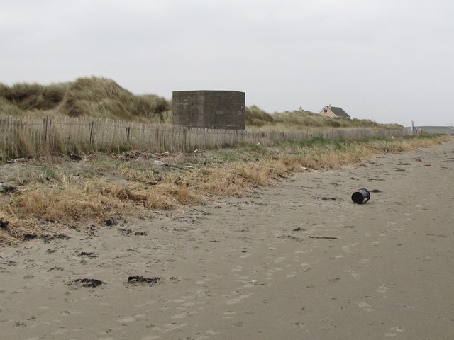 Tyrella BeachBeach / strand · 2.5 mi
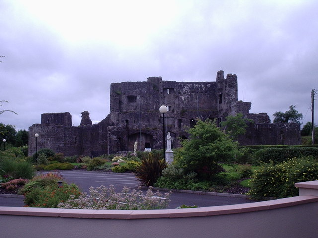 CASTLE? in Ballymote MiddleCASTLE? · 2.6 mi
 Castle ScreenCastle · 2.8 mi
 Ardtole ChurchWalking route · 3.5 mi
Other information
Photo: Eric Jones · CC BY-SA 2.0