What is recorded here
Curly's Fort stands in County Down, Ireland, a forgotten shape on the land where human hands once built or nature deceived the eye. The name suggests a person, perhaps a trader, soldier or jesting local, but no clear fact preserves their life. The fort may have been a boundary marker, a child's game or a genuine defensive works, its purpose buried under grass and time. What remains is a place that resisted forgetting long enough to keep a name, which is more than most lost structures achieve.
Curly's Fort is recorded as a archaeological place in County Down. Its open map record supplies this location and any linked names or public references.
Places near here
 ENCLOSURE in BallymacashenENCLOSURE · 1347 yd
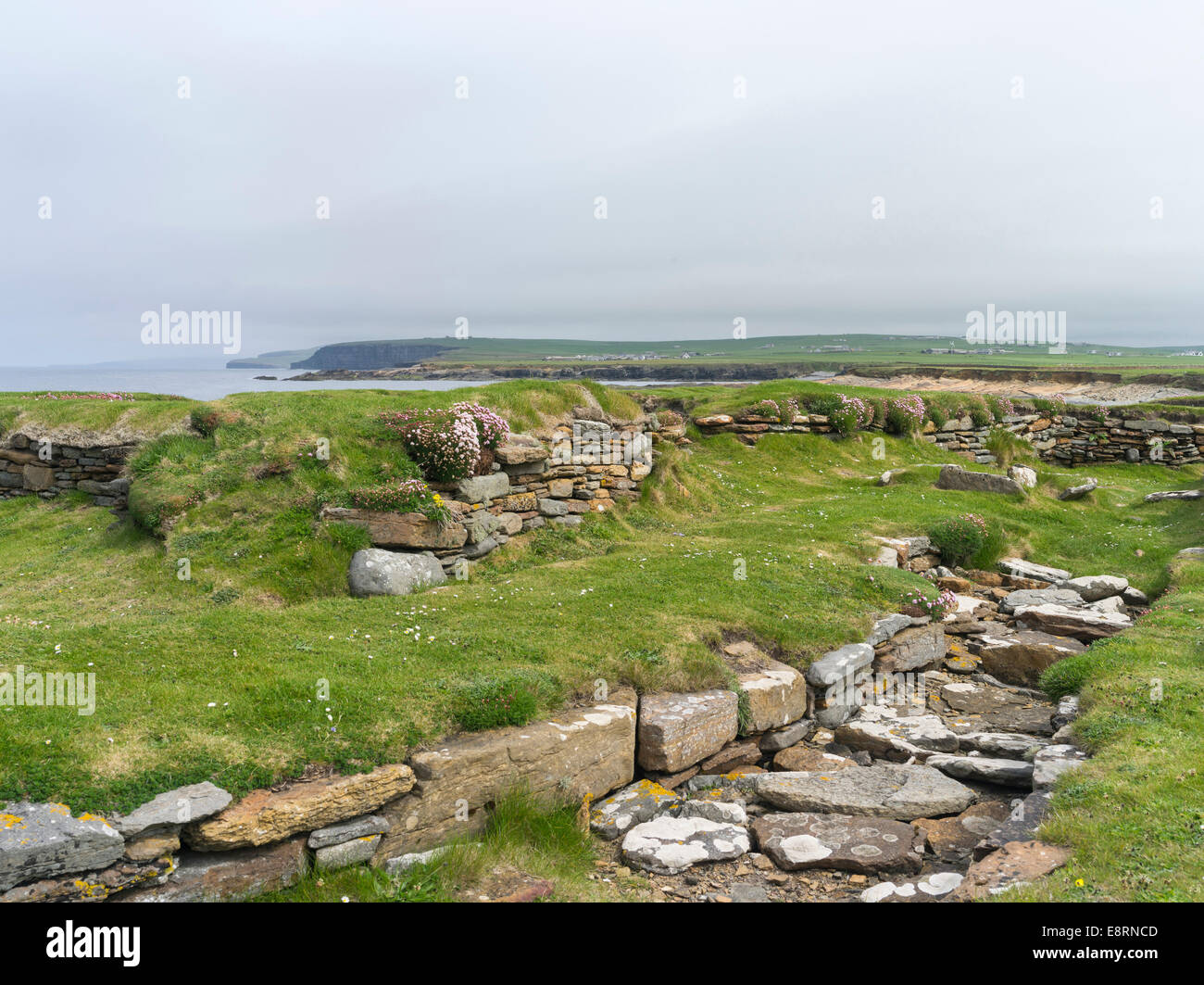 Historic Settlement Darragh Cross in BarnamagheryHistoric Settlement Darragh Cross · 1.3 mi
 Raffrey Presbyterian ChurchChurch · 2.0 mi
 Ballygowan Presbyterian ChurchChurch · 2.5 mi
 Battle of Saintfield (1798)Battlefield · 2.8 mi
 Post-Medieval church & graveyard in TullynakillPost-Medieval church & graveyard · 4.0 mi
 Glasswater WoodWood · 4.0 mi
 Wood IslandIslet · 4.4 mi
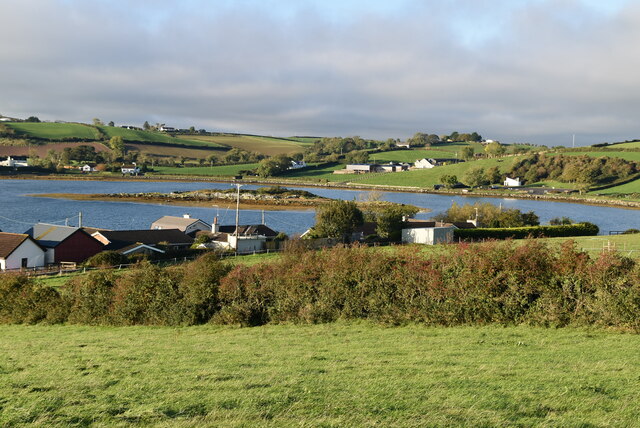 Hen IslandIslet · 4.5 mi
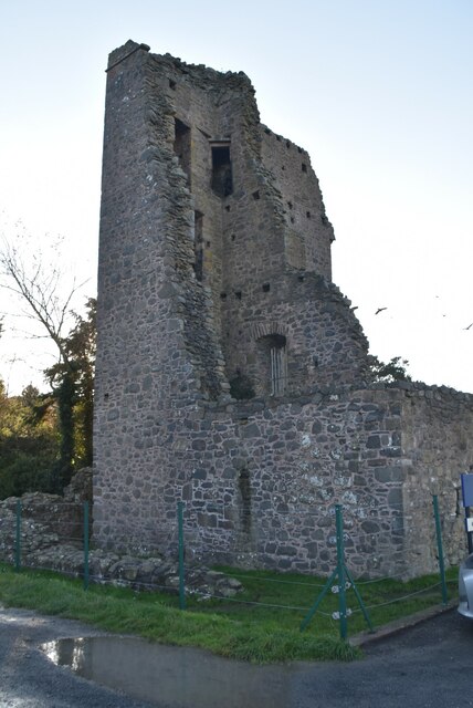 Sketrick Castle (ruin)Castle · 4.6 mi
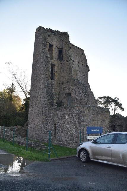 TOWER-HOUSE, BAWN & PASSAGE TO SPRING: SKETRICK CASTLE in Sketrick IslandTOWER-HOUSE, BAWN & PASSAGE TO SPRING: SKETRICK CASTLE · 4.6 mi
 The Round TowerVisitor information · 4.9 mi