What is recorded here
Doagh, a vanished village beside a small castle, still hides above the Barley Cove estuary in County Cork. The Petty Map of 1652 marked it, but human hands have not found the exact stones since. It may be a lost kitchen, a forgotten lane or a whole neighbourhood buried beneath grass and time.
This settlement was mentioned in the inventory entry no. 968 in vol. 1 of the Archaeological Inventory of County Cork. According to Healy (1988, 181), 'The Petty Map of 1652 shows a small castle or house marked as 'Doagh' above the estuary inland from Barley Cove' and to the left 'the remains of what appears to have been a village [CO147-089----]'. These have not been precisely located.
The above description is derived from the published 'Archaeological Inventory of County Cork. Volume 1: West Cork' (Dublin: Stationery Office, 1992). In certain instances the entries have been revised and updated in the light of recent research.
Date of upload/revision: 14 January 2009
The monument record does not grant public access. Check the route and ask the landowner before entering private land.
- What survives
- Recorded monument
Places near here
 Chimney CoveBeach / strand · 618 yd
 Barley CoveBeach / strand · 772 yd
 Creamery PlatformMemorial · 917 yd
 Cross in LissagriffinCross · 964 yd
 ToberullaHoly well · 1089 yd
 Castle (Site of)Castle, unclassified · 1205 yd
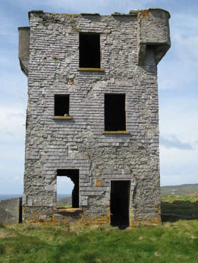 Browhead Signal Stationsignal tower · 1.2 mi
 Brow Head Signal TowerRuins · 1.2 mi
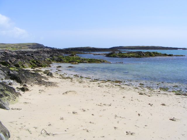 Galley Cove BeachBeach / strand · 1.2 mi
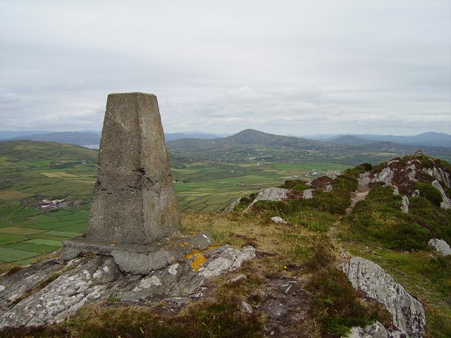 Mizen PeakMountain / peak · 1.8 mi
 Mizen Head Visitors CentreHeritage attraction · 2.3 mi
 KnockboyMountain / peak · 2.4 mi