What is recorded here
South Steps: On the steep S-facing rocky slopes of Sceilg Mhichíl. The S steps (Wth 1-1.5m; H 0.1-0.2m) are formed by stone flags set on a foundation of coursed stone and wind upwards to the NW from the south landing to Christ's Valley (Saddle). Here they join with steps (KE104A001111-) from the north landing and continue to the NE to merge with the E steps (KE104A001022-) outside the lintelled entrance to the main ecclesiastical complex. The lighthouse road, which was constructed near the shoreline in the 1820s, cuts across this flight of steps.
See attached images taken from Skellig Michael World Heritage Site Management Plan 2008 – 2018, contour plan taken from Sceilg Mhichíl World Heritage Property Management Plan 2020–30
Compiled by: Elizabeth Byrne, Ursula Egan and Sheila Ronan, Archaeological Survey Unit, University College, Cork.
Revised by: Caimin O'Brien
Date of revised upload: 3 March 2022
The monument record does not grant public access. Check the route and ask the landowner before entering private land.
- What survives
- Recorded monument
Places near here
 Enclosure in Sceilg MhichílEnclosure · 37 yd
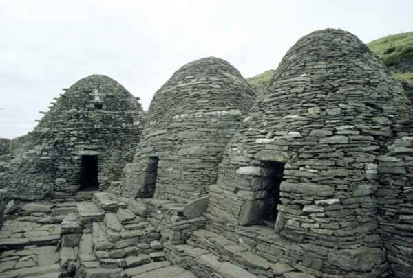 CrossCross · 48 yd
 Sceilig MhichílIslet · 127 yd
 Sceilg MhíchílMountain / peak · 132 yd
 Church in Sceilg MhichílChurch · 146 yd
 Skellig MonasteryHeritage attraction · 213 yd
 North PeakMountain / peak · 225 yd
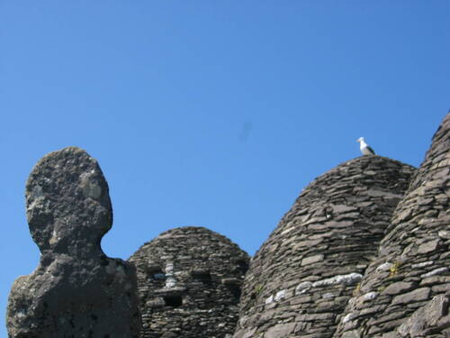 Church (in Ruins)Church · 231 yd
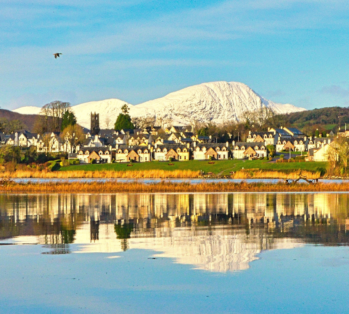 Pointe na bhFaoileannHeadland · 600 yd
 Sceilig BheagIslet · 1.6 mi
 LéimeHeadland · 6.9 mi
 Tráigh na SplinceBeach / strand · 8.7 mi