What is recorded here
In rough pasture, near the top of a N-facing slope of a ridge. A raised circular earthen structure (int. diam. 5m) defined by an earthen bank (Wth 2.3m; int. H 0.8m; ext. H 0.3m). Some stones protrude from the base of the internal face of the bank. There is a possible entrance (Wth 0.8m) at E. The interior slopes down to N. There is a rath (SL034-060----) c. 40m to S.
The above description is derived from the published 'Archaeological Inventory of County Sligo' compiled by Ursula Egan, Elizabeth Byrne, Mary Sleeman with Sheila Ronan and Connie Murphy (Dublin Stationery Office, 2005).
Date of upload: 18 January 2008
The monument record does not grant public access. Check the route and ask the landowner before entering private land.
- What survives
- Recorded monument
Places near here
 Carn, StonePassage tomb · 852 yd
 Sweat Ho. (1838).Sweathouse · 874 yd
 Bellarush Br.Bridge · 1412 yd
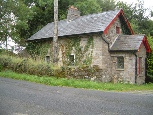 Ballindoon Housegate lodge · 1749 yd
 Castle BaldwinCastle · 1.8 mi
 Annaghgowla IslandIslet · 2.0 mi
 Ballindoon Castle (in Ruins)Castle, unclassified · 2.1 mi
 Barroe NorthMountain / peak · 2.2 mi
 InishmoreIslet · 2.3 mi
 Riverstown Folk ParkHeritage attraction · 2.7 mi
 Loughbrick BayBay · 3.4 mi
 Bricklieve MountainsMountain / peak · 3.5 mi