
What is recorded here
Caher is a ruined oval cashel on the highest point of Dún na bhFál Island, NE of Slyne Head. Its collapsed drystone wall and faint hut traces suggest people once lived there beside the sea, though the site now preserves little more than a shadow of that occupancy.
On the highest point of Dún na bhFál Island to NE of Slyne Head. Poorly preserved oval cashel (E-W 20.5m; N-S 11m) defined by a much-collapsed drystone wall, no trace of which exists from W to NE. A gap at S appears modern. In S half of the interior are two poorly defined huts (GA048-007001-, GA048-007002-); a number of others lie just outside it (GA048-007003-). (Killanin 1954, 94; Killanin and Duignan 1967, 94)
The above description is derived from the published 'Archaeological Inventory of County Galway Vol. I - West Galway'. Compiled by Paul Gosling (Dublin: Stationery Office, 1993).
Date of upload: 05 August 2010
The monument record does not grant public access. Check the route and ask the landowner before entering private land.
- What survives
- Recorded monument
Places near here
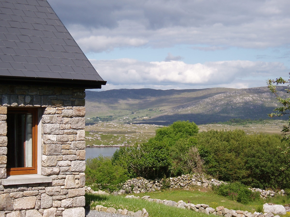 Hut site in BallinaleamaHut site · 1268 yd
 Duck IslandIslet · 1372 yd
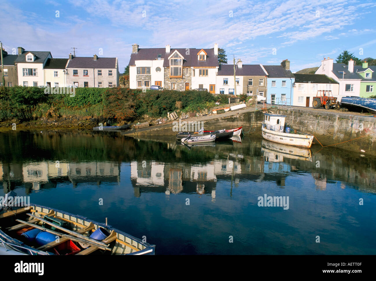 CarrickaroneIslet · 1572 yd
 St. Caillins Chapel (in ruins)Church · 1.0 mi
 Penitential station in KeerhaunmorePenitential station · 1.0 mi
 Riding StableHeritage attraction · 1.5 mi
 Slyne HeadHeadland · 1.9 mi
 Doon HillMountain / peak · 3.2 mi
 Enclosure in TruskaEnclosure · 3.6 mi
 Bawn in Bunowen MoreBawn · 3.7 mi
 Mannin BayBay · 5.5 mi
 Mannin Bay Coral StrandBeach / strand · 5.8 mi
Other information
Photo: Credit not shown in the picture search · Rights wording not checked; contact us if this picture should be removed