What is recorded here
Indicated is a circular fairy fort on a Mayo ridge, its steep scarped edge topped by a low jumble of stones while hawthorn and blackthorn choke the entrance. The interior remains level except for a straight field fence cutting north to south, dividing the ancient space like a modern boundary imposed on older memory. It overlookes gentle grassland and dark bog, waiting for people who still believe such places are alive.
In pasture, straddles the S-facing side of roughly E–W ridge, overlooking gently undulating grassland to S and W. At NE–E the ground falls away to tracts of bog.
Raised circular area (25m E–W; 23.8m N–S) defined by a scarp (ext. H 1.1-1.5m) topped by a low jumble (Wth 1.4m) of stones. At N the scarp retains a slightly raised internal rim suggesting remnants of a bank of width c. 3m. At the base of the scarp, a field fence (Wth 1.3m; H c. 0.6m) of earth and stone, largely engulfed in overgrowth, encloses the rath NE–S–NW.
A low area (Wth 2m) in the scarp at E may mark the original entrance, but is largely blocked externally by overgrowth and field clearance debris. The interior is level. It is bisected, slightly E of centre, on a N–S axis by an earth and stone field fence.
The perimeter thickly ringed by hawthorn and blackthorn. A farm track, on a roughly NE–SW axis, lies immediately to N of the rath. There is a rath (MA050-016001----) 250m to WSW.
Compiled by: Jane O’Shaughnessy
Date of upload: 12 June 2020
The monument record does not grant public access. Check the route and ask the landowner before entering private land.
- What survives
- Recorded monument
Places near here
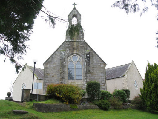 All Saints' Catholic Churchchurch/chapel · 1161 yd
 Enclosure in KnockmullinEnclosure · 1324 yd
 IndicatedFairy fort / earthen ringfort · 1408 yd
 Killasser Church (in ruins)Church · 1721 yd
 HawthornHawthorn · 1.6 mi
 Castle (in Ruins)Castle, unclassified · 1.8 mi
 Hennigan's Heritage CentreHeritage attraction · 1.9 mi
 Procession Of The SoulsMemorial · 3.2 mi
 Youth Memorial GardenMemorial · 3.2 mi
 Brabazon WoodsForest · 3.5 mi
 KnockasliggaunMountain / peak · 6.6 mi
 Thorn CaveCave · 6.6 mi