What is recorded here
Fairy fort / ringfort in Doonierin is a fairy fort or ringfort in Doonierin, County Sligo, Ireland. It sits on a slight rise in gently undulating pasture and appears as a circular enclosure about twenty metres wide. An inner bank two metres high, a fosse and an outer bank one and a half metres high define the remains, though dense growth now blocks entry.
Situated on a slight rise in gently undulating pasture. Depicted on the 1837-8 and 1940-1 editions of the 6'' OS 6-inch map as acircular enclosure (diam. c.20m). The monument is densely overgrown and inaccessible. It appears to be defined by an inner bank (H c.2m), a fosse and an outer bank (H c.1.5m).
Compiled by: Patrick F. O'Donovan
Date of upload: 21 April 2011
The monument record does not grant public access. Check the route and ask the landowner before entering private land.
- What survives
- Recorded monument
Places near here
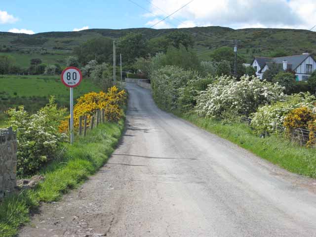 IndicatedHoly well · 508 yd
 Enclosure in CreggEnclosure · 971 yd
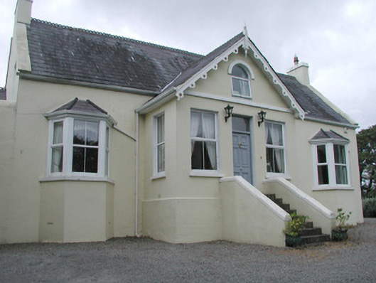 Saint Helen'shouse · 1649 yd
 CastleCastle, unclassified · 1755 yd
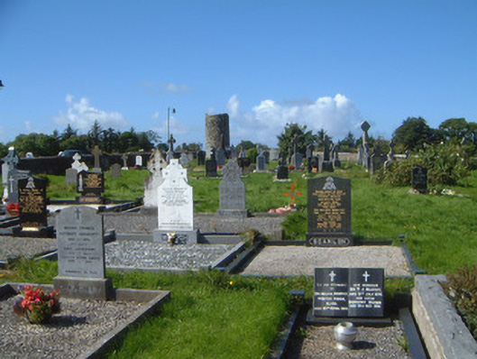 graveyard/cemeterygraveyard/cemetery · 1.0 mi
 Grave of WB YeatsHeritage attraction · 1.1 mi
 Drumcliff CemeteryGraveyard · 1.1 mi
 Floods WoodForest · 2.1 mi
 Finned PointHeadland · 2.1 mi
 Castle (in Ruins)Castle, unclassified · 2.2 mi
 Paddy McGowan's WoodWood · 2.3 mi
 Oyster IslandIslet · 2.4 mi