What is recorded here
This is a National Monument in State care (no. 518). On the top of Doonaveeragh, in the Bricklieve Mountains. A grass-covered conical cairn (diam. 9.1m x 11.4m; H 2m); two possible kerbstones are visible at SW. There is a Neolithic settlement (SL040-108----) on the lower ground to N. A possible passage tomb (SL040-099----) lies c. 200m to NNW.
The above description is derived from the published 'Archaeological Inventory of County Sligo' compiled by Ursula Egan, Elizabeth Byrne, Mary Sleeman with Sheila Ronan and Connie Murphy (Dublin Stationery Office, 2005).
Date of upload: 18 January 2008
See linked document with a plan and sections of the monument (surveyed 1995).
Date of upload: 27 May 2013
A Bronze Age cairn; its location in the Bricklieve Mountains suggests it is part of a broader pattern of early funerary and ritual activity in the upland landscapes of western Ireland.
The monument record does not grant public access. Check the route and ask the landowner before entering private land.
- What survives
- Recorded monument
Places near here
 Bricklieve MountainsMountain / peak · 789 yd
 Carricknahorna EastMountain / peak · 1018 yd
 Carrowkeel neolithic siteArchaeological place · 1038 yd
 Indicated (1838).Fairy fort / stone ringfort · 1408 yd
 Treanscrabbagh caveCave · 1.0 mi
 Hollybrook Housecountry house · 1.1 mi
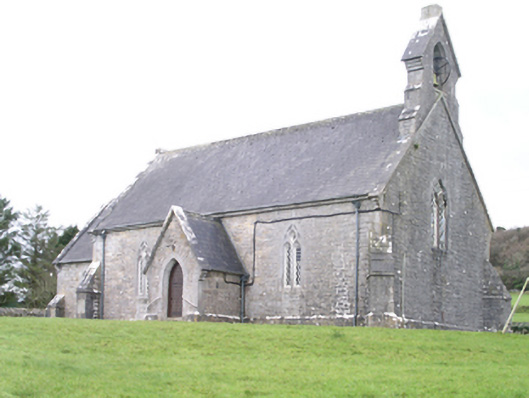 Aghanagh Churchchurch/chapel · 1.1 mi
 Castle BaldwinCastle · 1.7 mi
 Annaghgowla IslandIslet · 1.8 mi
 TumulusCastle, motte · 2.0 mi
 InishmoreIslet · 2.0 mi
 Loughbrick BayBay · 2.6 mi