What is recorded here
Donaghaguy holds a standing stone from the prehistoric era, marking a place where human hands shaped the landscape before written history. Its uncertain age and scheduled protection suggest it survived every attempt to erase or explain it. The stone may have guided rituals, marked a boundary, or simply resisted forgetting. In a county crowded with gardens and roads, it remains a blunt reminder that people stood there, looked up, and left behind something unable to be dismissed.
The official Northern Ireland record identifies this as STANDING STONE. Recorded period: PREHISTORIC; UNCERTAIN. Recorded protection: Scheduled. The official map point was placed at the centre of the recorded archaeological site from the source map reference.
Likely dating to the Neolithic or Bronze Age, this standing stone may have functioned as a ceremonial or territorial marker. Its specific meaning or use remains unclear, though such stones are often associated with ritual activity or astronomical alignments in prehistoric traditions.
The monument record does not grant public access. Check the route and ask the landowner before entering private land.
- What survives
- Recorded monument
Places near here
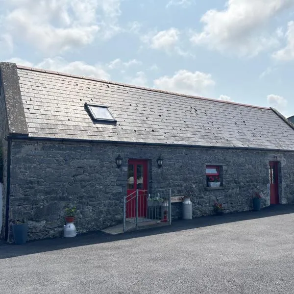 A.P. SITEA.P. SITE, bivallate enclosure · 1078 yd
 ENCLOSURE in BallydeslandENCLOSURE · 1348 yd
 Joanne ReillyMemorial · 1440 yd
 Warrenpoint Parish ChurchChurch · 1643 yd
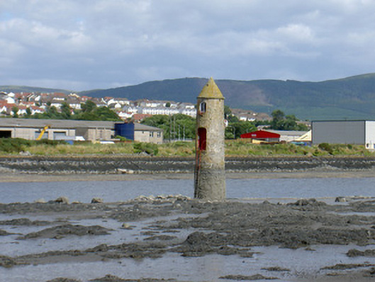 Newry River Lighthouse (Front)beacon · 1722 yd
 Warrenpoint ambushambush · 1732 yd
 Narrow Water WatchtowerVisitor information · 1.0 mi
 TOWER-HOUSE AND BAWN: NARROW WATER CASTLE in Narrow WaterTOWER-HOUSE AND BAWN: NARROW WATER CASTLE · 1.0 mi
 Narrow Water KeepHeritage attraction · 1.0 mi
 Narrow Water CastleCastle · 1.1 mi
 Dobbin's PointHeadland · 1.3 mi
 Carlingford Lough GreenwayWalking route · 2.2 mi