What is recorded here
Situated on a ridge in rolling pasture with good views in all directions. Though depicted with hachures on the 1923 OS six-inch map, it appears from the 25-inch map that the pattern of hachures represent a terraced garden in front of Caherconlish House and not an ancient enclosure. The house and gardens are no longer evident.
Compiled by: Denis Power
Date of upload: 24 June 2013
The monument record does not grant public access. Check the route and ask the landowner before entering private land.
- What survives
- Recorded monument
Places near here
 Caherconlish Ho.Castle, tower house · 63 yd
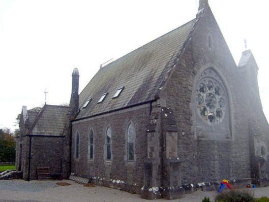 The Old Churchchurch/chapel · 592 yd
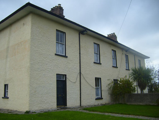 BrookvilleRIC barracks · 607 yd
 Caherconlish Castle (site of), HachuredCastle, ringwork · 624 yd
 Enclosure in Knockroe (clanwilliam By.)Enclosure · 700 yd
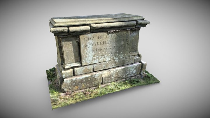 TombTomb, chest tomb · 722 yd
 St Lawrence's WellSpring · 1.1 mi
 Wych ElmWych Elm · 1.7 mi
 Graveyard in AbingtonGraveyard · 3.8 mi
 KnockseefinMountain / peak · 5.3 mi
 Sliev Felim WayVisitor information · 5.3 mi
 St. Patrick's WellSpring · 5.5 mi