What is recorded here
Indicated was a circular enclosure about twenty metres across on a Mayo rise, visible on maps from 1838 to 1922 before ploughing and pasture erased most of its shape. It sat among at least two other raths, suggesting a small cluster of occupied or marked ground rather than a lonely anomaly. The land still holds a faint oval ripple, wide enough to imagine a fence line, a dwelling, or a boundary drawn by people who knew that rise well.
In pasture, located on a rise with a fall of ground to N–NW, and good views of the surrounding landscape.
Shown on the 1838 and 1922 OS 6-inch maps as a circular enclosure (diam. c. 20m). This enclosure has been levelled; a slight circular undulation (diam. 12m N–S; 14m E–W) can be discerned.
There is a rath (MA038-086----) 90m to N, and another rath (MA038-088----) c. 160m to SE.
Compiled by: Jane O'Shaughnessy
Date of upload: 1 August 2019
The monument record does not grant public access. Check the route and ask the landowner before entering private land.
- What survives
- Recorded monument
Places near here
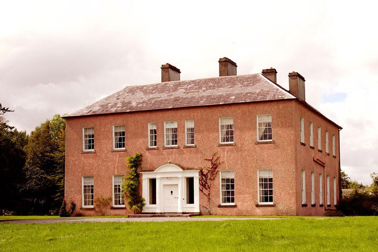 Enclosure in Castlehill (tirawley By., Crossmolina. Par.)Enclosure · 412 yd
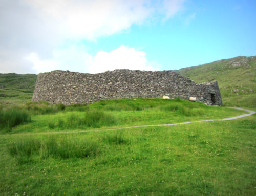 Skehanagh FortArchaeological place · 511 yd
 Ballyduffy CastleCastle, unclassified · 1.1 mi
 Church in ruinsChurch · 1.1 mi
 Catholic Church of Our Ladychurch/chapel · 1.1 mi
 RathmoreCastle, motte · 1.2 mi
 Grave of the KingsArchaeological place · 1.6 mi
 Titanic Memorial ParkMemorial · 2.0 mi
 Castle IslandIslet · 2.4 mi
 Roe IslandIslet · 2.7 mi
 NephinMountain / peak · 3.1 mi
 KnockaffertaghMountain / peak · 6.6 mi