What is recorded here
In Derryvella bog, located c. 20m W of TS048-067---- and was visible in the drain edge 0.21m below the field surface. This possible structure (Wth 0.53m; D 0.09m; L 5.42m) was composed of two roundwood elements protruding from the drain face and a single roundwood on the field surface 5.42m to the S. It appeared to be randomly laid, with each element orientated in different directions. The northernmost elements (diam. 0.1m; L not discernible as under peat) were 0.05m apart and were orientated NW-SE and NE-SW, while the element to the S (diam. 0.05m; L 0.19m) was orientated NW-SE. The underlying peat was composed of poorly humified sphagnum peat with frequent eriophorum inclusions. A single piece of wood was identified as oak.
Compiled by: Jean Farrelly, based on the original survey description compiled by Jane Whitaker of Archaeological Development Services Ltd.
Date of upload: 07 November 2012
The monument record does not grant public access. Check the route and ask the landowner before entering private land.
- What survives
- Recorded monument
Places near here
 RoadRoad, unclassified togher · 78 yd
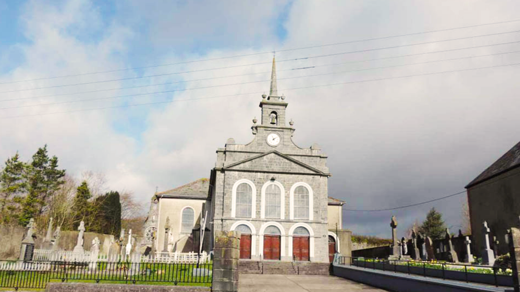 Derryvella Church (in Ruins)Church · 423 yd
 Grave YardEcclesiastical enclosure · 437 yd
 StructureStructure, peatland · 798 yd
 Waterloo HillMountain / peak · 1.4 mi
 Derrynaflan TrailHeritage attraction · 1.6 mi
 Bog Castle (in Ruins)Castle, unclassified · 2.1 mi
 Mellisson CastleCastle, tower house · 2.3 mi
 Gobban Saer's GraveArchaeological place · 3.3 mi
 Sweet ChestnutSweet Chestnut · 3.3 mi
 Slieveardagh Heritage CentreVisitor information · 3.6 mi
 Horse and JockeyVisitor information · 4.0 mi